1.3M
Acres
16
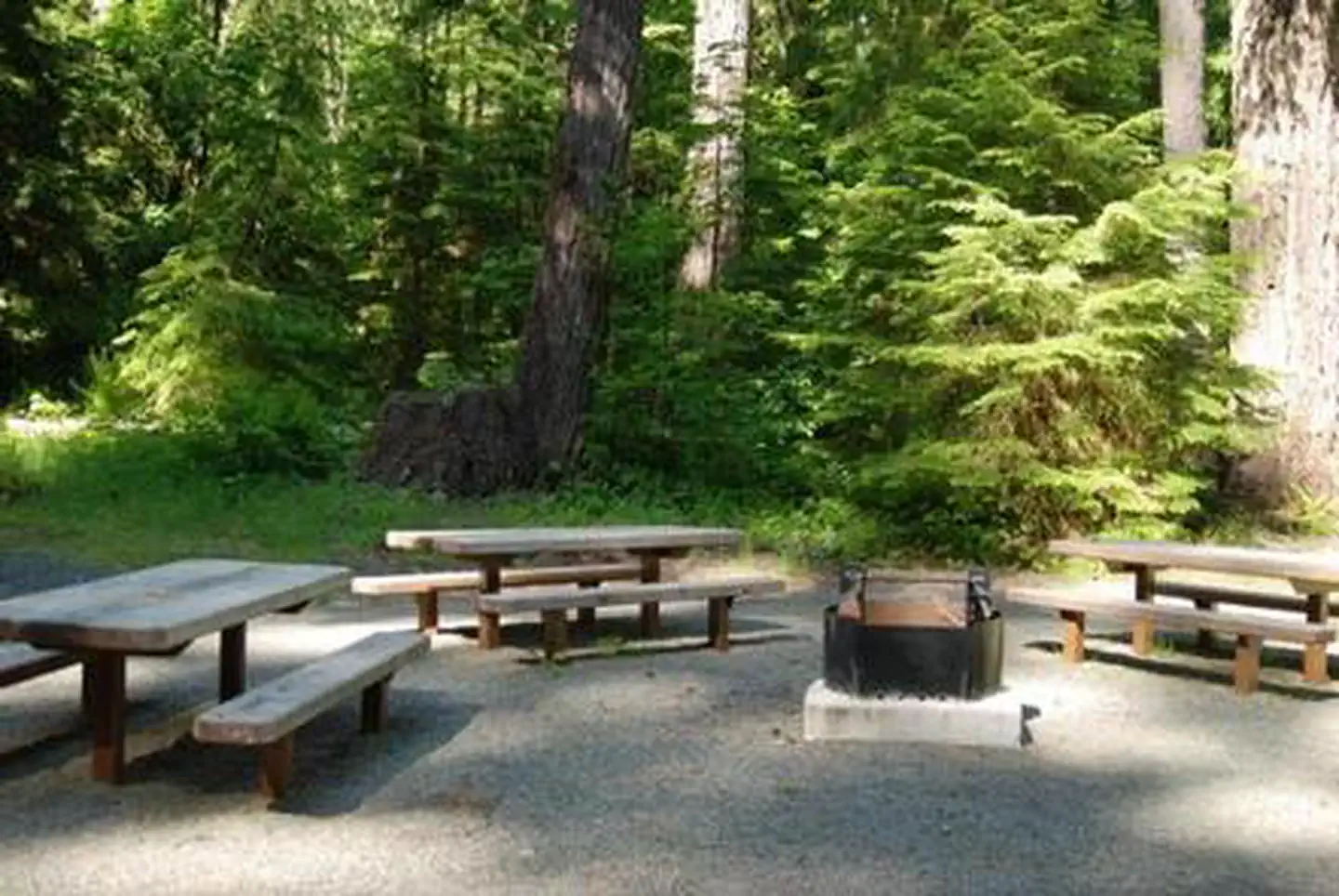
Campgrounds
Official sources & verification
Managed by United States Forest Service
Source of truth
- Gifford Pinchot National Forest — official page
Operator-published page with current visitor information.
Verify by phone or mail
- Operator:360-891-5000
- Address:WA
About
Imported descriptionSource: fs.usda.gov
From Wikipedia
Source: Wikipedia — text licensed CC BY-SA 4.0. Verify alerts and operational details with the managing agency below.
Chain
Dispersed Camping above Panther Creek Falls
FS Road 44 Dispersed
Goat Lake/Snowgrass Flat Backcountry Camp
Huckleberry Access
Kalama Horse Camp Campground
Little Goose
Lower Falls Recreation Area
Meadow Creek Indian Campground
NF 020 - Trout Lake Dispersed Site
North Fork Elk Group Camp
Sluice Creek Dispersed Spot
Reviews
No reviews yet
Be the first to share your experience and help others plan their visit.
Hunting in this park
This park overlaps hunting units
During hunting seasons, wear blaze orange and check regulations — see the Washington hunting page
Within ~100 miles
Parks near Gifford Pinchot National Forest
Mount St. Helens National Volcanic Monument
Washington

Bonneville Lock and Dam
Oregon
Pierce National Wildlife Refuge
Oregon
Franz Lake National Wildlife Refuge
Oregon
Columbia River Gorge National Scenic Area
Washington

Conboy Lake National Wildlife Refuge
Washington
Same state
More parks in Washington

Mount Rainier National Park
Washington

Olympic National Park
Washington
Alpine Lakes Wilderness
Washington
Banks Lake
Washington
Bennington Lake
Washington
Billy Clapp Lake
Washington
Billy Frank Jr. Nisqually National Wildlife Refuge
Washington
Boundary Reservoir Recreation Area
Washington