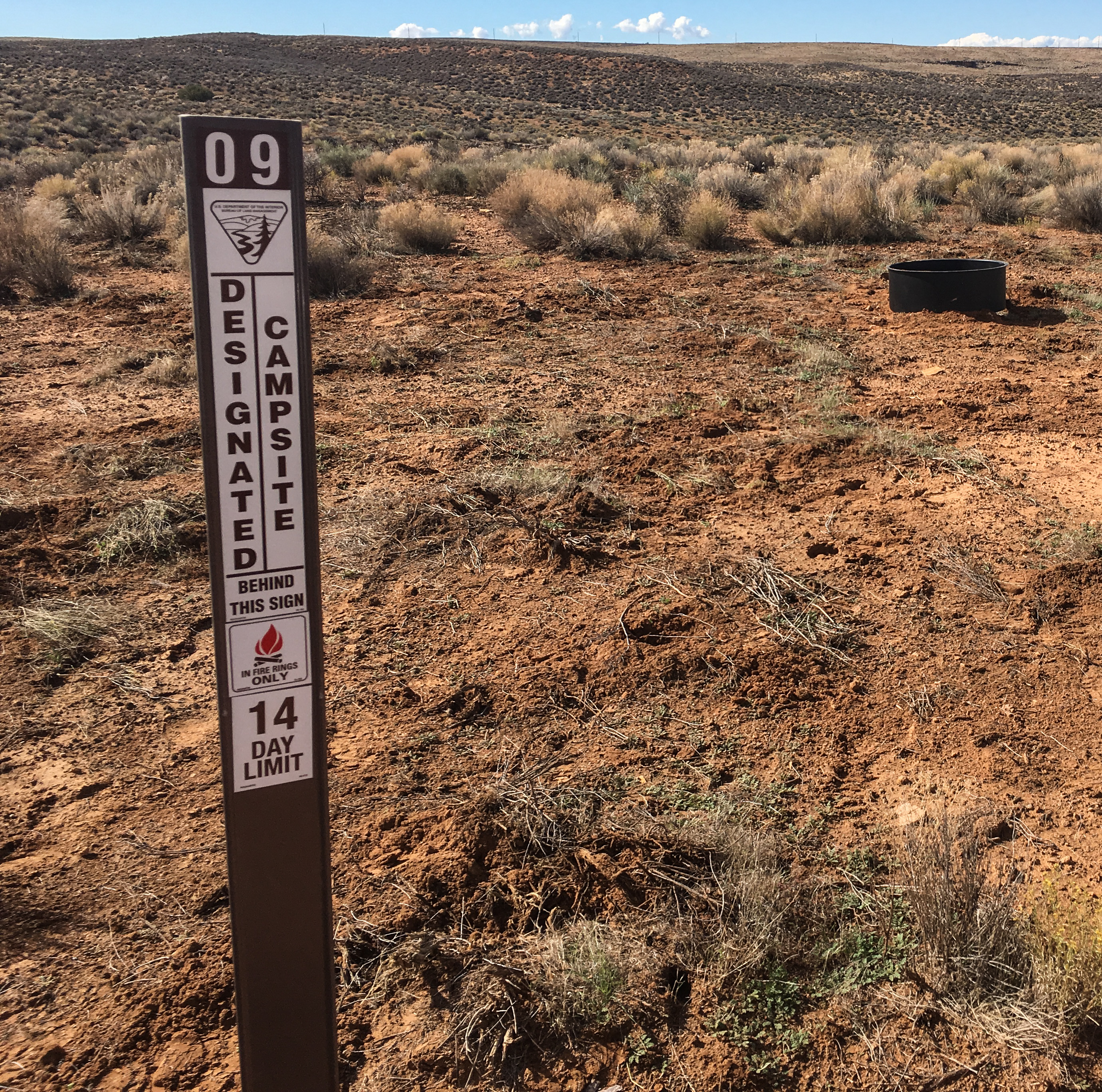
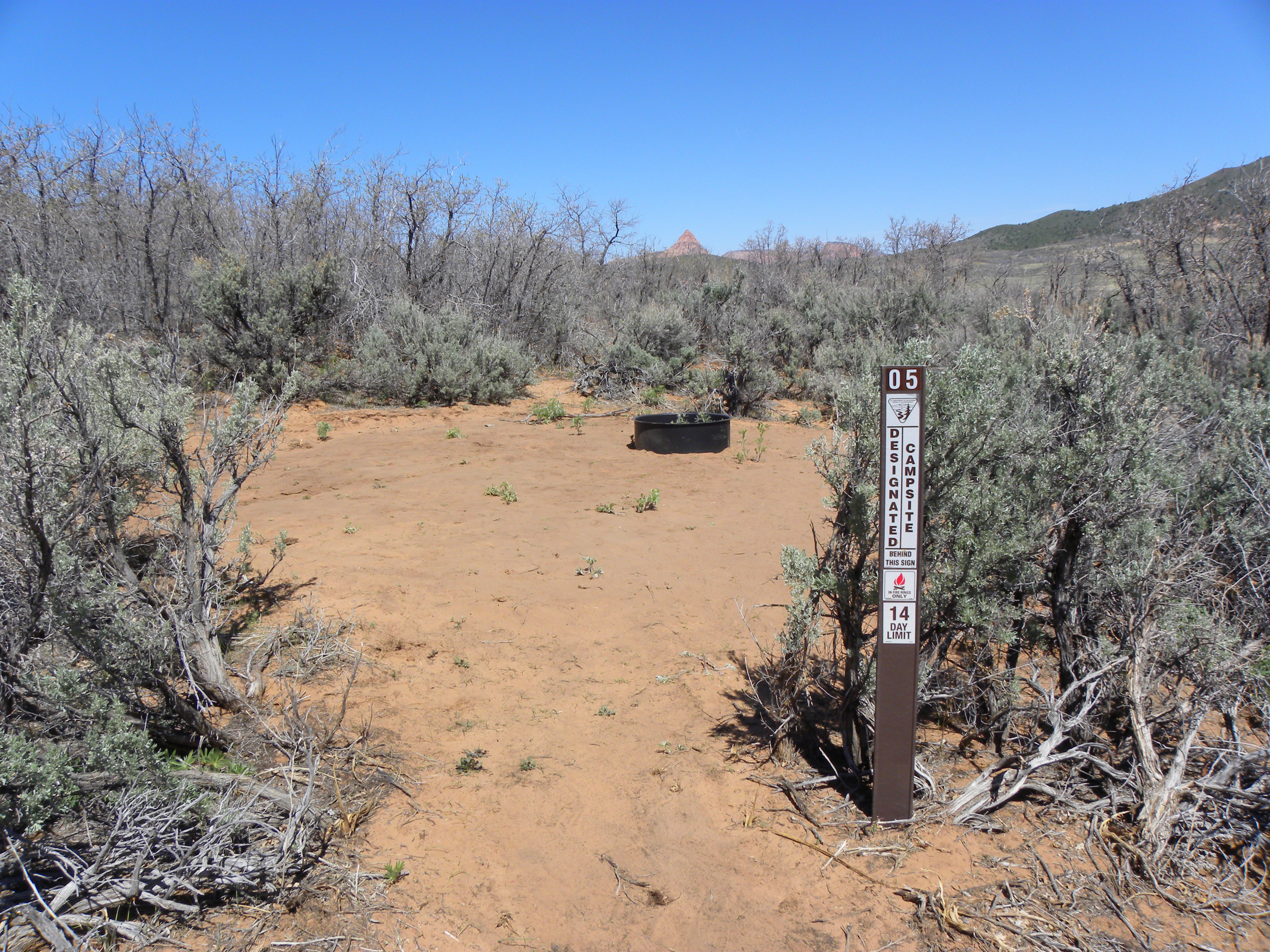
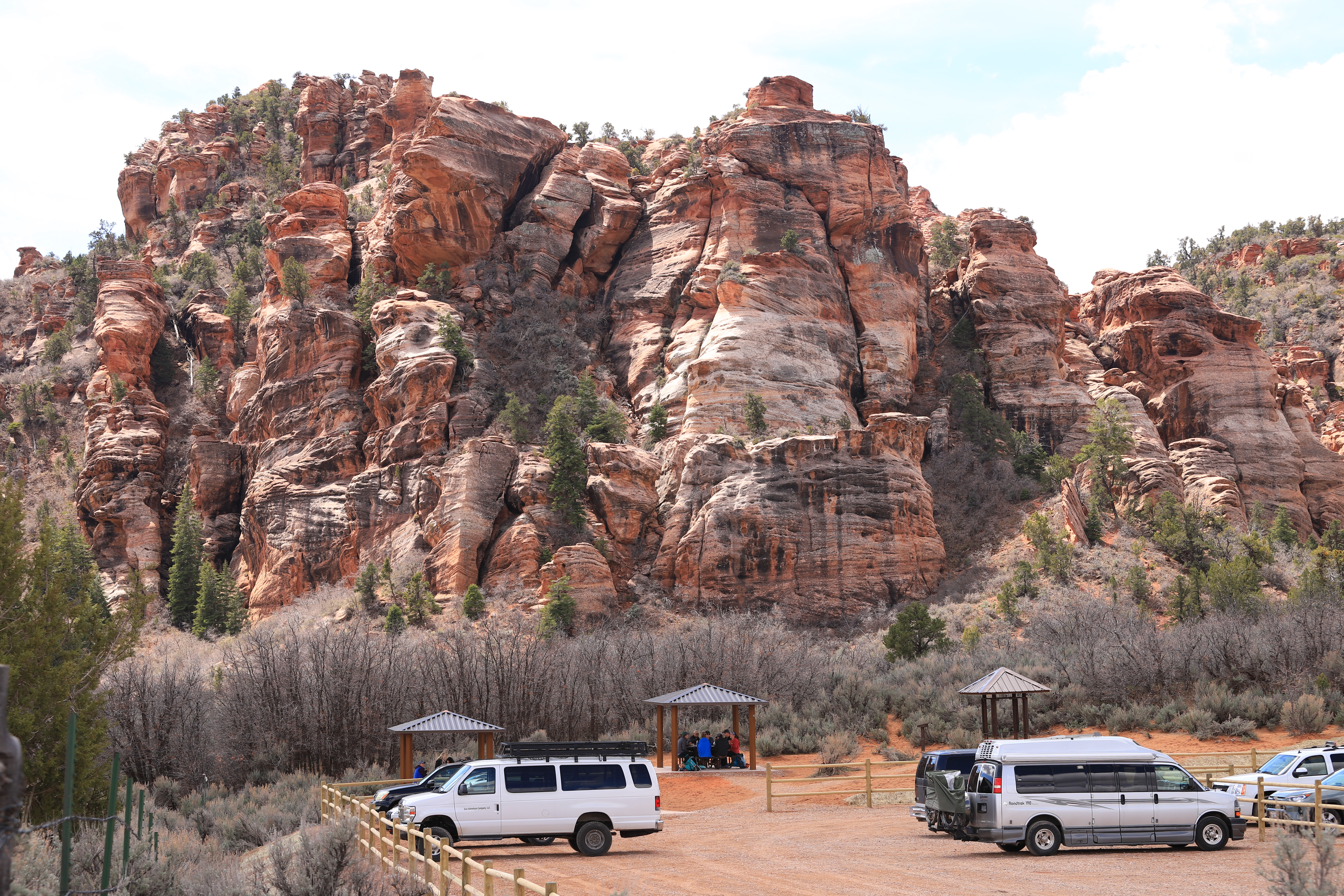
No photos yet
Official sources & verification
Managed by National Recreation Area
Source of truth
- Agency source page
The page our published rules and notes are derived from.
Managing agency
- National Recreation Area
Find offices, alerts, and current orders for this agency.
Verify by phone or mail
- Operator:435-688-3200
- Email:utsgmail@blm.gov
- Address:UT
About
Imported descriptionRecommended Users: Mountain Bikers, Hikers. Singletrack trail. 2.53 miles in length. Difficulty: Extremely difficult. From the trailhead, the trail immediately drops down a steep, rugged slope and careens toward the cliff edge on your right. Follow the narrow, winding track southeast as it traverses the crumbling layers of sandstone, siltstone and mudstone below the mesa rim. Expect a steep, rocky descent along the entire trail, with sharp turns, sudden drop-offs and precipitous exposure. Keep in mind that entire sections of the trail may be washed out in places due to its location on a steep, eroded slope. The trail becomes braided in several sections, allowing users to choose one of several interconnected paths on their descent.If you have time to look up, you’ll be rewarded with dramatic vistas of colorful badlands in the foreground, Gooseberry Mesa to the south, the craggy peaks of Canaan Mountain Wilderness to the southeast and the majestic West Temple of Zion National Park to the east.While keeping your eyes on the trail, you will experience a speedy ride-through tour of local geology. The trail begins in the Chinle Formation of the Upper Triassic Age atop the mesa then descends quickly through the Moenkopi layer of the Lower Triassic, a blur of red sandstone under your tires. Soon after, you are plummeting through talus from the Holocene to upper Pleistocene Age before revisiting the Moenkopi Formation near the bottom of the escarpment.Once the trail drops to rolling lowlands and levels out, find your way back to SR 9 near Virgin by following the well-traveled dirt road south. Note: This trail should only be considered by expert mountain bicyclists. Throughout its length, it features narrow tread width, widely variable and unpredictable tread surfaces, 20% or more average trail grade, jumps, unavoidable obstacles, loose rocks and extreme exposure. There are no convenient places to stop or turn around and the cost of a mistake in many places could result in serious injury or death. Use extreme caution, always wear a helmet, and ride at your own risk.
Source: recreation.gov
Reviews
No reviews yet
Be the first to share your experience and help others plan their visit.
Hunting in this park
Hunting is generally prohibited in this National Park Service unit
Verify current park-specific rules with the National Park Service before planning any hunt. See NPS regulations
Within ~100 miles
Parks near Flying Monkey Trail
Nat'l Recreation Area
Park
Hurricane Cliffs Designated Dispersed Camping Area
Utah
Nat'l Recreation Area
Park
Lambs Knoll Designated Dispersed Camping Area
Utah
Nat'l Recreation Area
Park
Lambs Knoll Climbing Site
Utah
Nat'l Recreation Area
Park
Gooseberry Mesa National Recreation Trail
Utah
Nat'l Recreation Area
Park
Red Butte Wilderness
Utah
Nat'l Recreation Area
Park
Blackridge Wilderness
Utah
Same state
More parks in Utah

Featured
National Park
Park
Arches National Park
Utah
120 sq mi

Featured
National Park
Park
Bryce Canyon National Park
Utah
56 sq mi

Featured
National Park
Park
Zion National Park
Utah
230 sq mi

Nat'l Recreation Area
Park
18 Road - North Fruita Desert
Utah

Nat'l Recreation Area
Park
Anasazi State Park Museum
Utah

Nat'l Recreation Area
Park
Antelope Island State Park
Utah
recreation area
Park
Armijo Route
Utah
National Forest
Park
Ashley National Forest
Utah
2,160 sq mi
Spot an error in our data on Flying Monkey Trail?