No photos yet
Official sources & verification
Managed by National Recreation Area
Source of truth
- Agency source page
The page our published rules and notes are derived from.
Managing agency
- National Recreation Area
Find offices, alerts, and current orders for this agency.
Verify by phone or mail
- Operator:435-743-3100
- Email:utfmmail@blm.gov
- Address:UT
About
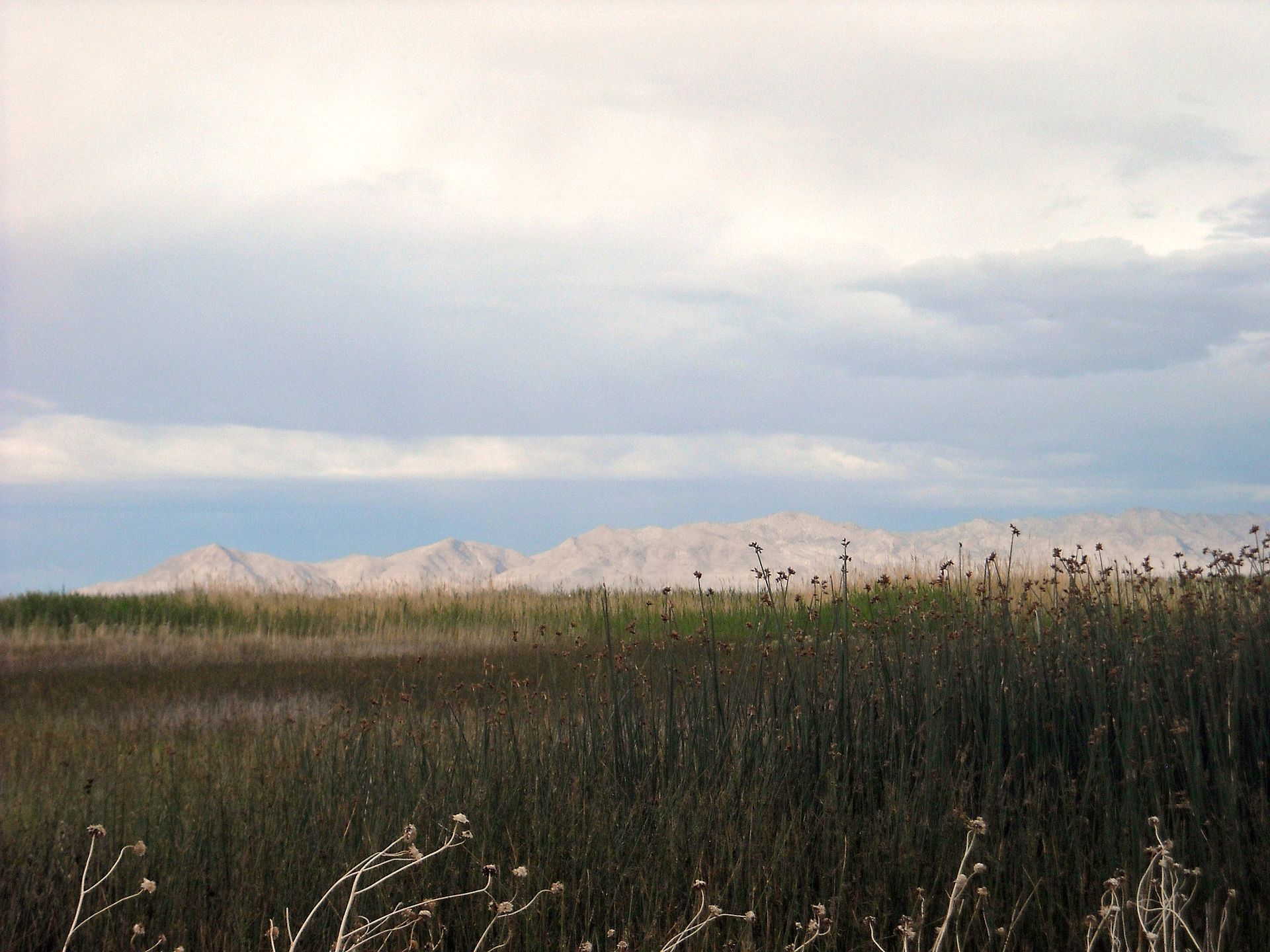
Imported descriptionThe WSA is bounded by improved and unimproved roads and the Fish Springs National Wildlife Refuge to the northeast. The WSA includes most of the Fish Springs Range, a northsouth trending ridge that rises abruptly from approximately 5,000 feet at the base to 8,500 feet at the crest. The range is at the southern margin of the Great Salt Lake Desert.Vegetation in this WSA is predominantly shrubs and grasses at lower elevations and scattered pinyon pine and juniper at higher elevations. Some white fir grow in isolated, higher locations. Special Features: The Fish Creek Range is a tilted fault block of sedimentary rocks, and includes bedding plane faults visible in over 28,000 acres in the central part of the WSA. Bald eagles, peregrine falcons, and golden eagles are raptor species which inhabit the WSA. Sensitive species that may occur in the WSA include the ferruginous hawk, long-billed curlew, and kit fox.
Source: recreation.gov
Reviews
No reviews yet
Be the first to share your experience and help others plan their visit.
Hunting in this park
Hunting is generally prohibited in this National Park Service unit
Verify current park-specific rules with the National Park Service before planning any hunt. See NPS regulations
Within ~100 miles
Parks near Fish Springs
Nat'l Recreation Area
Park
Fish Springs National Wildlife Refuge
Utah
Nat'l Recreation Area
Park
Topaz Mountain
Utah
Nat'l Recreation Area
Park
Topaz Mountain Rockhound Recreation Area
Utah
Nat'l Recreation Area
Park
Joy Townsite
Utah
recreation area
Park
Swasey Mountain WSA
Utah
recreation area
Park
Scott's Basin
Utah
Same state
More parks in Utah

Featured
National Park
Park
Arches National Park
Utah
120 sq mi

Featured
National Park
Park
Bryce Canyon National Park
Utah
56 sq mi

Featured
National Park
Park
Zion National Park
Utah
230 sq mi

Nat'l Recreation Area
Park
18 Road - North Fruita Desert
Utah

Nat'l Recreation Area
Park
Anasazi State Park Museum
Utah

Nat'l Recreation Area
Park
Antelope Island State Park
Utah
recreation area
Park
Armijo Route
Utah
Nat'l Recreation Area
Park
Ashley National Forest
Utah
Spot an error in our data on Fish Springs?