No photos yet
Official sources & verification
Managed by National Recreation Area
Source of truth
- Agency source page
The page our published rules and notes are derived from.
Managing agency
- National Recreation Area
Find offices, alerts, and current orders for this agency.
Verify by phone or mail
- Operator:435-644-1200
- Email:escalante_interagency@blm.gov
- Address:UT
About
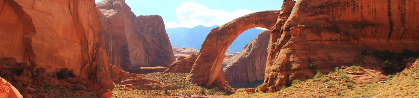
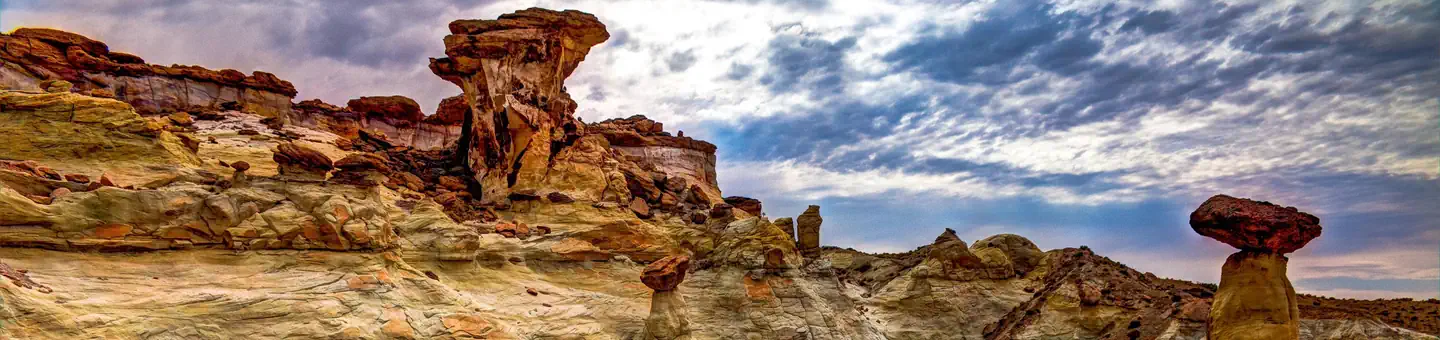
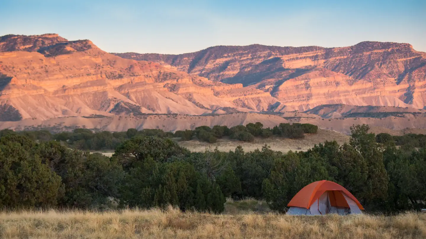
Imported descriptionAlmost all of the area's southern boundary is the Glen Canyon National Recreation Area. The southwestern boundary is the Croton Road and the remainder of the western boundary is formed by coal exploration roads and State lands in the Rogers Canyon and East of the Navajo areas. The northern boundary is the Left Hand Collet Canyon road. To the east and below the Straight Cliffs, the boundary is the Fiftymile Bench road to the Left Hand Collet Road.The WSA is best known as a location for viewing the panoramas of the lower Glen Canyon region. Features that can be viewed from the Fiftymile Mountain WSA include Lake Powell, Navajo Mountain Rainbow Plateau, Glen Canyon, and the Canyonlands of the Escalante River.Fiftymile Mountain is unique in the sense that the plateau is the only island of green in the midst of red and yellow Canyonlands and Lake Powell.
Source: recreation.gov
Reviews
No reviews yet
Be the first to share your experience and help others plan their visit.
Hunting in this park
Hunting is generally prohibited in this National Park Service unit
Verify current park-specific rules with the National Park Service before planning any hunt. See NPS regulations
Within ~100 miles
Parks near Fiftymile Mountain
Nat'l Recreation Area
Park
Escalante Canyons Tract 5
Utah
Nat'l Recreation Area
Park
Burning Hills
Utah
Nat'l Recreation Area
Park
Scorpion WSA
Utah
Nat'l Recreation Area
Park
Devil's Garden
Utah
Nat'l Recreation Area
Park
Rainbow Bridge National Monument
Utah
Nat'l Recreation Area
Park
Grand Staircase-Escalante National Monument
Utah
Same state
More parks in Utah

Featured
National Park
Park
Arches National Park
Utah
120 sq mi

Featured
National Park
Park
Bryce Canyon National Park
Utah
56 sq mi

Featured
National Park
Park
Zion National Park
Utah
230 sq mi
Nat'l Recreation Area
Park
18 Road - North Fruita Desert
Utah

Nat'l Recreation Area
Park
Anasazi State Park Museum
Utah

Nat'l Recreation Area
Park
Antelope Island State Park
Utah
recreation area
Park
Armijo Route
Utah
National Forest
Park
Ashley National Forest
Utah
2,160 sq mi
Spot an error in our data on Fiftymile Mountain?