
Official sources & verification
Managed by Recreation Area
Source of truth
- Agency source page
The page our published rules and notes are derived from.
Verify by phone or mail
- Operator:307-328-4200
- Email:rawlins_wymail@blm.gov
- Address:WY
About
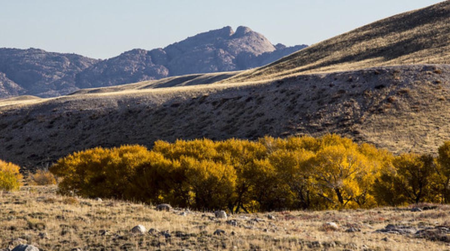
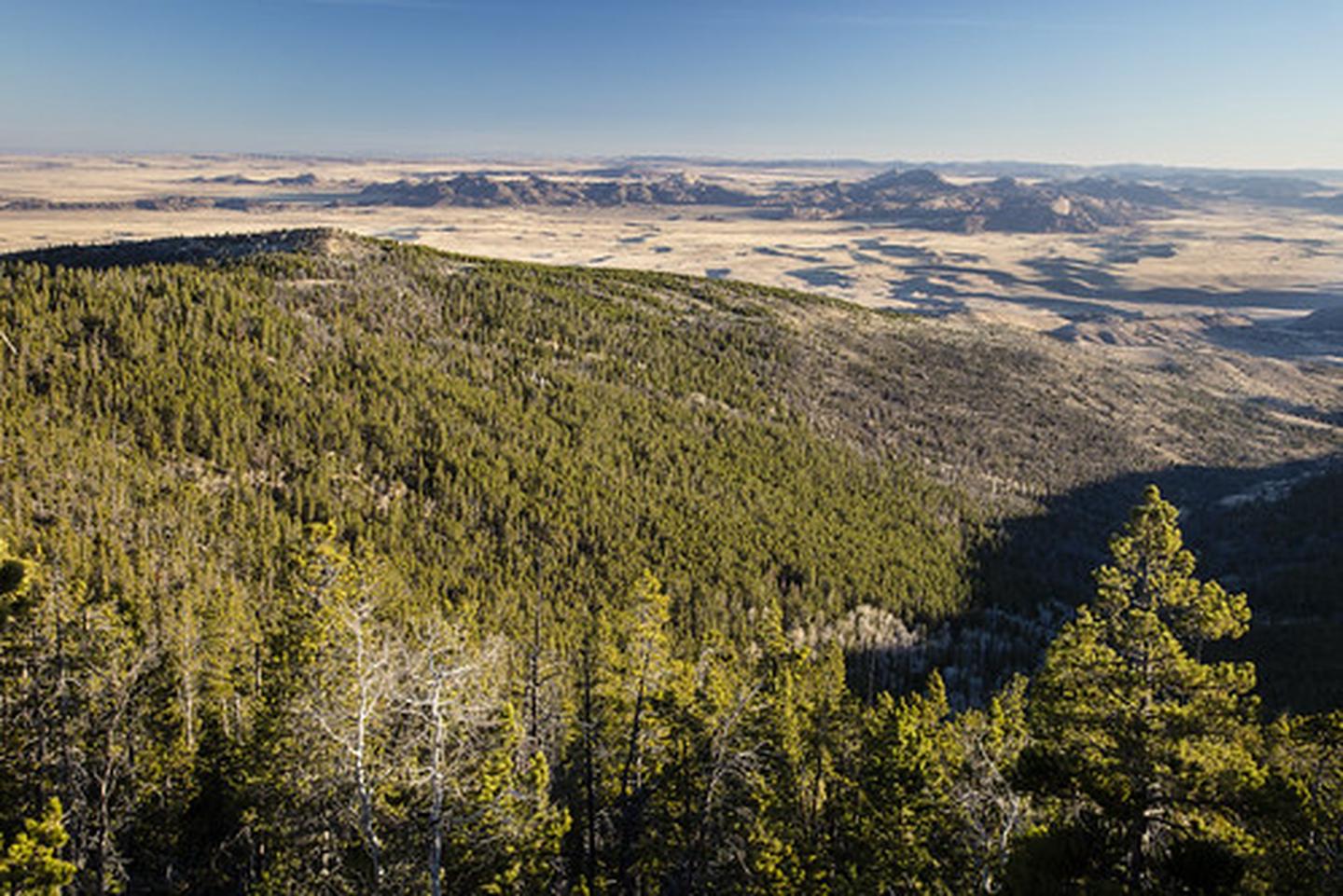
The Ferris Mountains are a small mountain range in Carbon County, Wyoming. A high white cliff undulates along the entire length of the south side of the range, making it uniquely noticeable. The cliff is predominantly visible from U.S. Route 287. The highest peak in the range is Ferris Peak, which rises to an elevation of 10,037 feet (3,059 m). Ferris peak stands 3,000 feet (910 m) above the surrounding valley, and is the highest peak in the Great Divide Basin.
Source: Wikipedia — text licensed CC BY-SA 4.0. Verify alerts and operational details with the managing agency below.
Reviews
No reviews yet
Be the first to share your experience and help others plan their visit.
Hunting in this park
This park overlaps hunting units
During hunting seasons, wear blaze orange and check regulations — see the Wyoming hunting page
Within ~100 miles
Parks near Ferris Mountains
Sweetwater Rocks (Savage Peak)
Wyoming
ParkNat'l Recreation Area
Sweetwater Rocks (Miller Springs)
Wyoming
ParkNat'l Recreation Area
Sweetwater Rocks (Split Rock)
Wyoming
ParkNat'l Recreation Area
Sweetwater Rocks (Lankin Dome)
Wyoming
ParkNat'l Recreation Area
Steamboat Lake Interpretive Site
Wyoming
ParkNat'l Recreation Area
Pathfinder National Wildlife Refuge
Wyoming
ParkNat'l Recreation Area
Same state
More parks in Wyoming
Featured
Bridger-Teton National Forest
Wyoming
5,313 sq mi
ParkNational Forest

Featured
Grand Teton National Park
Wyoming
484 sq mi
ParkNational Park

Featured
Yellowstone National Park
Wyoming
3,468 sq mi
ParkNational Park

Agate Fossil Beds National Monument
Wyoming
ParkNat'l Recreation Area
Alcova Reservoir
Wyoming
Parkrecreation area
Alkali Creek WSA
Wyoming
ParkNat'l Recreation Area
Angostura Reservoir
Wyoming
ParkNat'l Recreation Area
Atlantic City/South Pass
Wyoming
ParkNat'l Recreation Area
Spot an error in our data on Ferris Mountains?