No photos yet
Official sources & verification
Managed by National Recreation Area
Source of truth
- Agency source page
The page our published rules and notes are derived from.
Managing agency
- National Recreation Area
Find offices, alerts, and current orders for this agency.
Verify by phone or mail
- Operator:970-921-5721
- Email:crawford.park@state.co.us
- Address:CO
About
Imported descriptionCrawford Reservoir was created by Crawford Dam which crosses Iron Creek, a tributary of the Smith Fork of the Gunnison River. The reservoir is part of the Smith Fork Project.Recreation at Crawford Reservoir is managed by the Colorado Division of Parks and Outdoor Recreation under agreement with the Bureau of Reclamation, Western Colorado Area Office, Grand Junction, Colorado. The 96,000 annual visitors recreation activities are accommodated by 7 miles of shoreline and 394 acres of water surface. The average elevation is 6,500 feet above sea level.Water activities include boating, waterskiing, sailboarding, and swimming. For fishing enthusiasts, yellow perch, black crappie, largemouth bass, trout, channel catfish, and northern pike are in the reservoir. Winter activities include ice fishing, cross-country skiing, and snowmobiling. There are 45 campsites with hookups and 21 without. Showers and flush toilets are available. Call 800-678-2267 for camping reservations
Source: recreation.gov
From Wikipedia
Crawford Dam impounds water for Crawford Reservoir in Delta County, Colorado about a mile south of the town of Crawford.
The earthen dam was completed in 1962 by the United States Bureau of Reclamation with a height of 162 feet (49 m) and 580 feet (180 m) long at its crest. It impounds Iron Creek for irrigation flood control, one element of the Smith Fork Project. The dam is owned by the Bureau and operated by the local Crawford Water Conservancy District. When full, Crawford Reservoir has a water surface area of 406 acres (164 ha), about 7 miles (11 km) of shoreline, and a total capacity of 14,395 acre-feet (17,756,000 m3). The main purpose of the facility is to provide farm irrigation, and the size of Crawford Reservoir changes significantly with the seasons. In most years, the lake is full in late Spring and early Summer, but by early Fall, the water level drops enough to leave boat launches high and dry. The low water pool lasts through the Winter until Spring runoff begins to fill the water supply once again.
The reservoir is encompassed within Crawford State Park with Park Headquarters located on a peninsula along the northeastern shore. Recreation opportunities include fishing, boating, camping on 66 campsites, picnicking, swimming, and hiking.
Source: Wikipedia — text licensed CC BY-SA 4.0. Verify alerts and operational details with the managing agency below.
Reviews
No reviews yet
Be the first to share your experience and help others plan their visit.
Hunting in this park
Hunting is generally prohibited in this National Park Service unit
Verify current park-specific rules with the National Park Service before planning any hunt. See NPS regulations
Within ~100 miles
Parks near Crawford Reservoir
Nat'l Recreation Area
Park
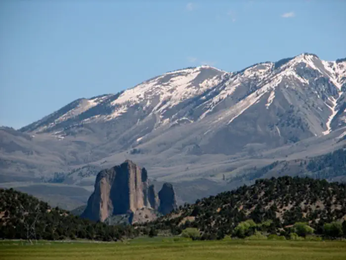
Needle Rock ONA/ACEC
Colorado
National Forest
Park
Grand Mesa, Uncompahgre and Gunnison National Forests
Colorado
4,940 sq mi
Nat'l Recreation Area
Park
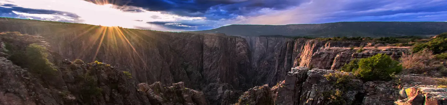
Black Canyon Of The Gunnison National Park
Colorado
Nat'l Recreation Area
Park
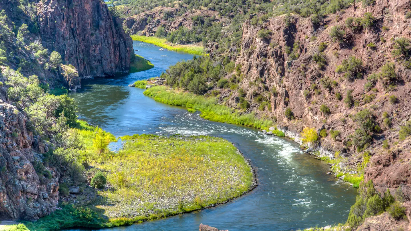
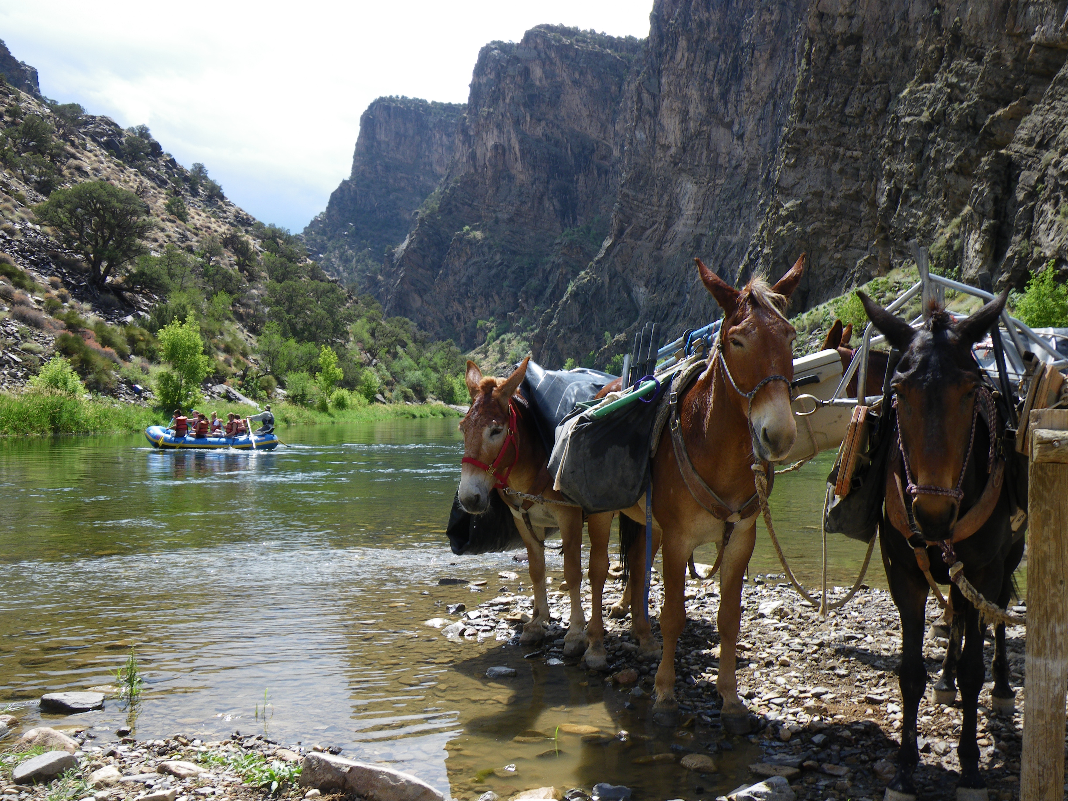
Gunnison Gorge Wilderness
Colorado
Nat'l Recreation Area
Park
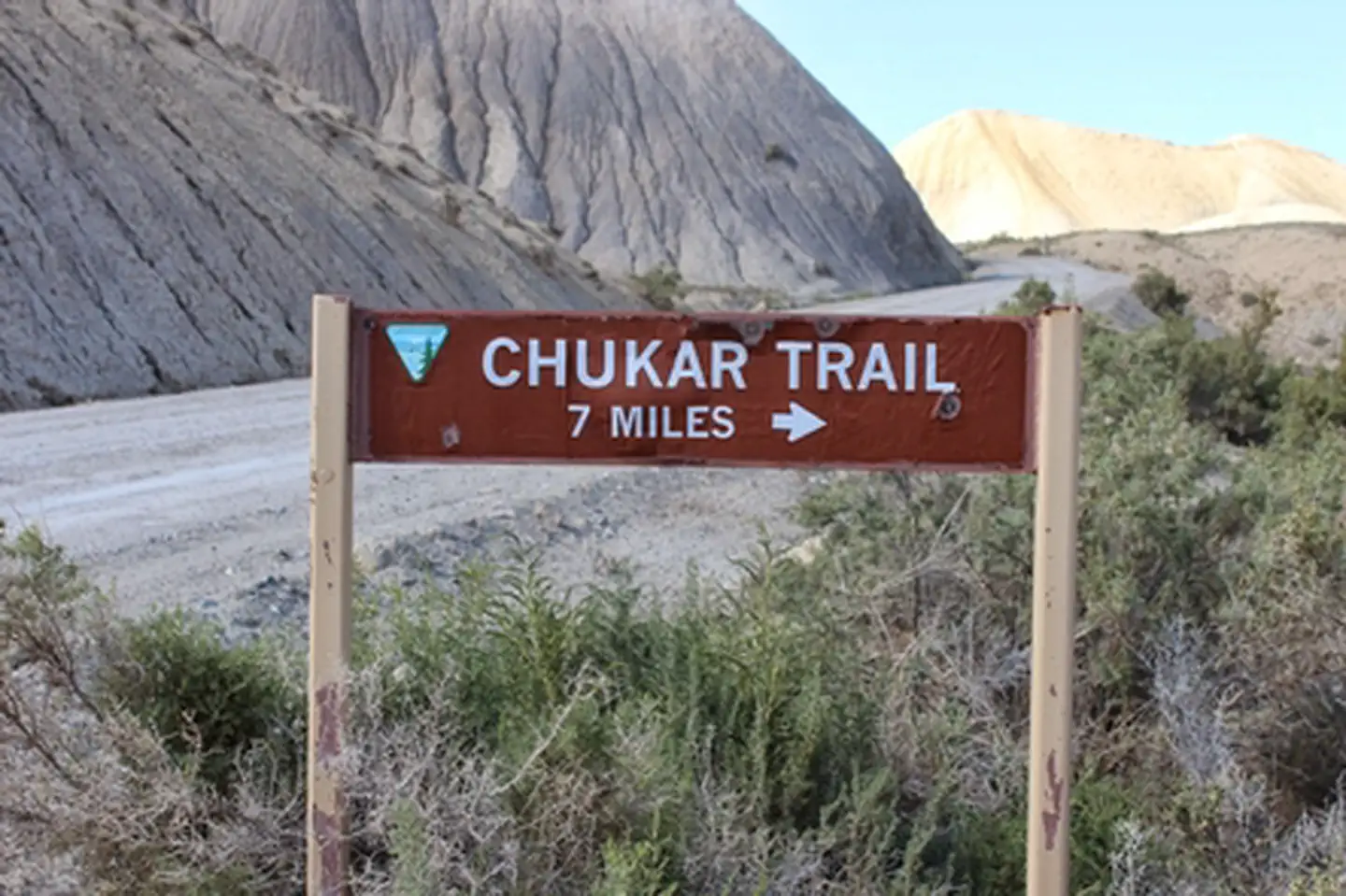
Chukar Trail
Colorado
conservation area
Park
Gunnison Gorge National Conservation Area
Colorado
Same state
More parks in Colorado

Featured
National Park
Park
Rocky Mountain National Park
Colorado
415 sq mi
Featured
National Forest
Park
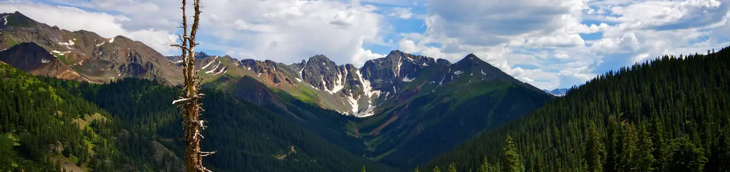
White River National Forest
Colorado
3,572 sq mi
Nat'l Recreation Area
Park
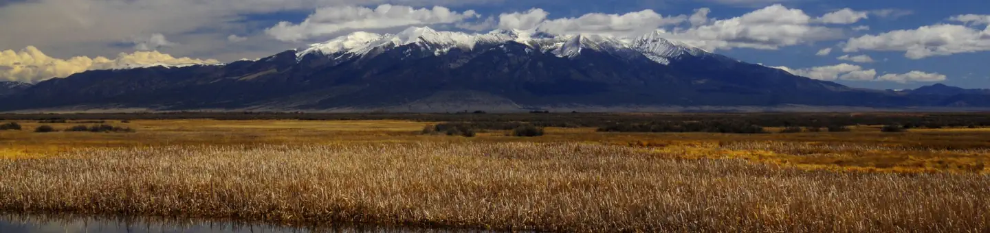
Alamosa National Wildlife Refuge
Colorado
Nat'l Recreation Area
Park
Alpine Loop
Colorado
National Historic Site
Park
Amache National Historic Site
Colorado

Nat'l Recreation Area
Park
Arapaho & Roosevelt National Forests Pawnee NG
Colorado
National Forest
Park
Arapaho and Roosevelt National Forests
Colorado
2,403 sq mi
wildlife refuge
Park
Arapaho National Wildlife Refuge
Colorado
Spot an error in our data on Crawford Reservoir?