1 / 3
Nat'l Recreation Area
Official sources & verification
Managed by National Recreation Area
Source of truth
- Agency source page
The page our published rules and notes are derived from.
Managing agency
- National Recreation Area
Find offices, alerts, and current orders for this agency.
Verify by phone or mail
- Operator:503-375-5646
- Email:BLM_OR_NO_Mail@blm.gov
- Address:OR
About
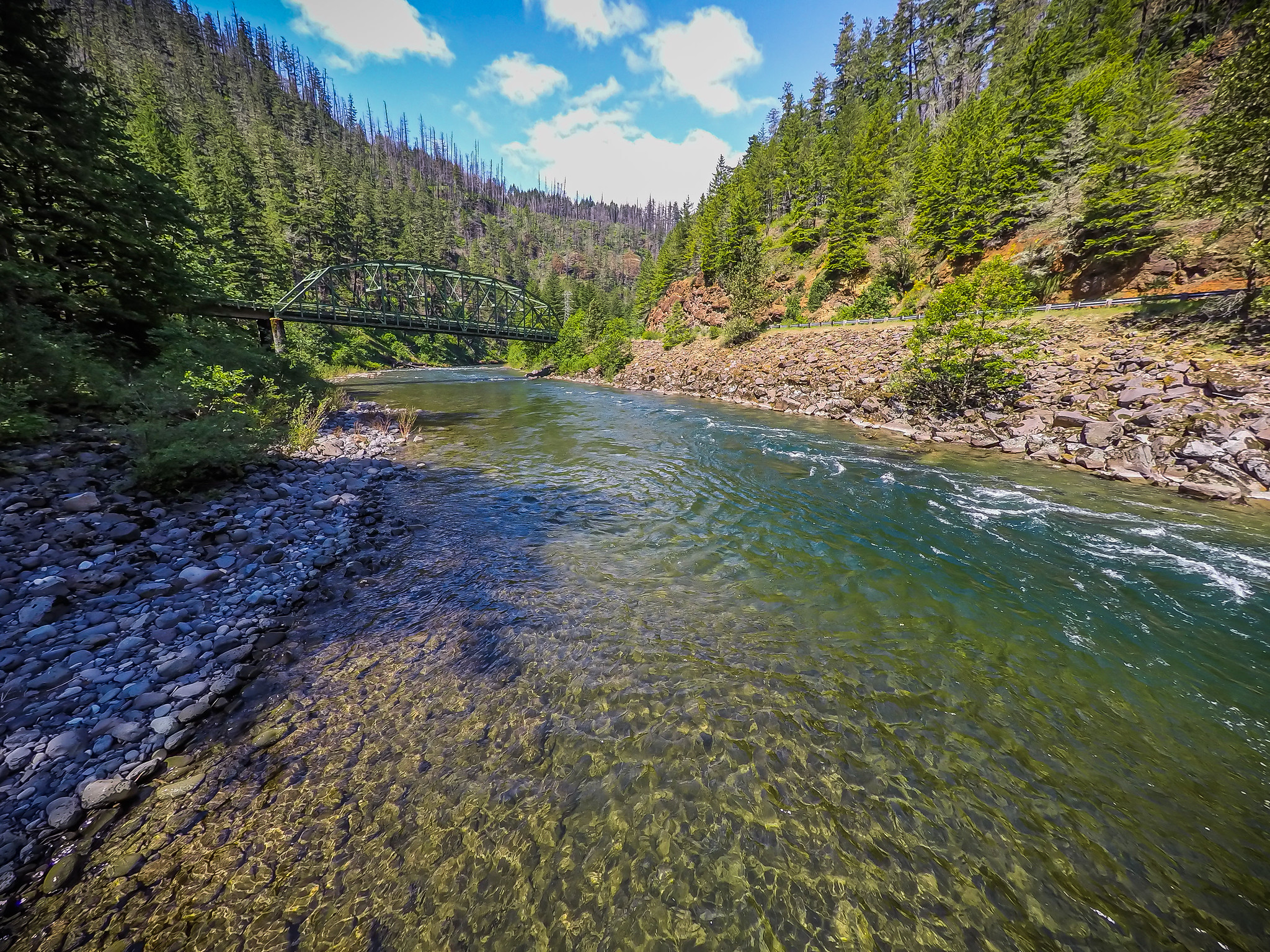
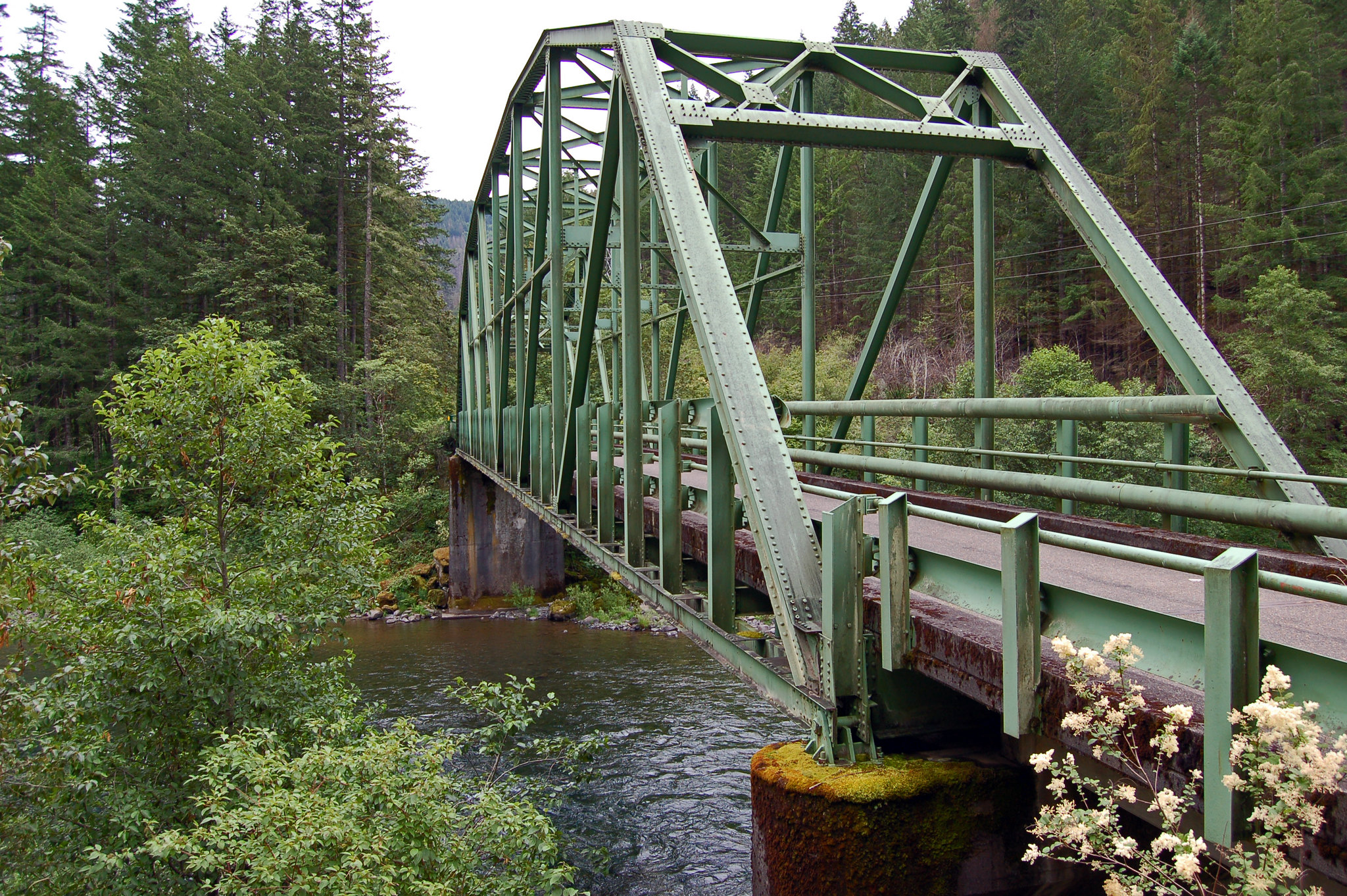
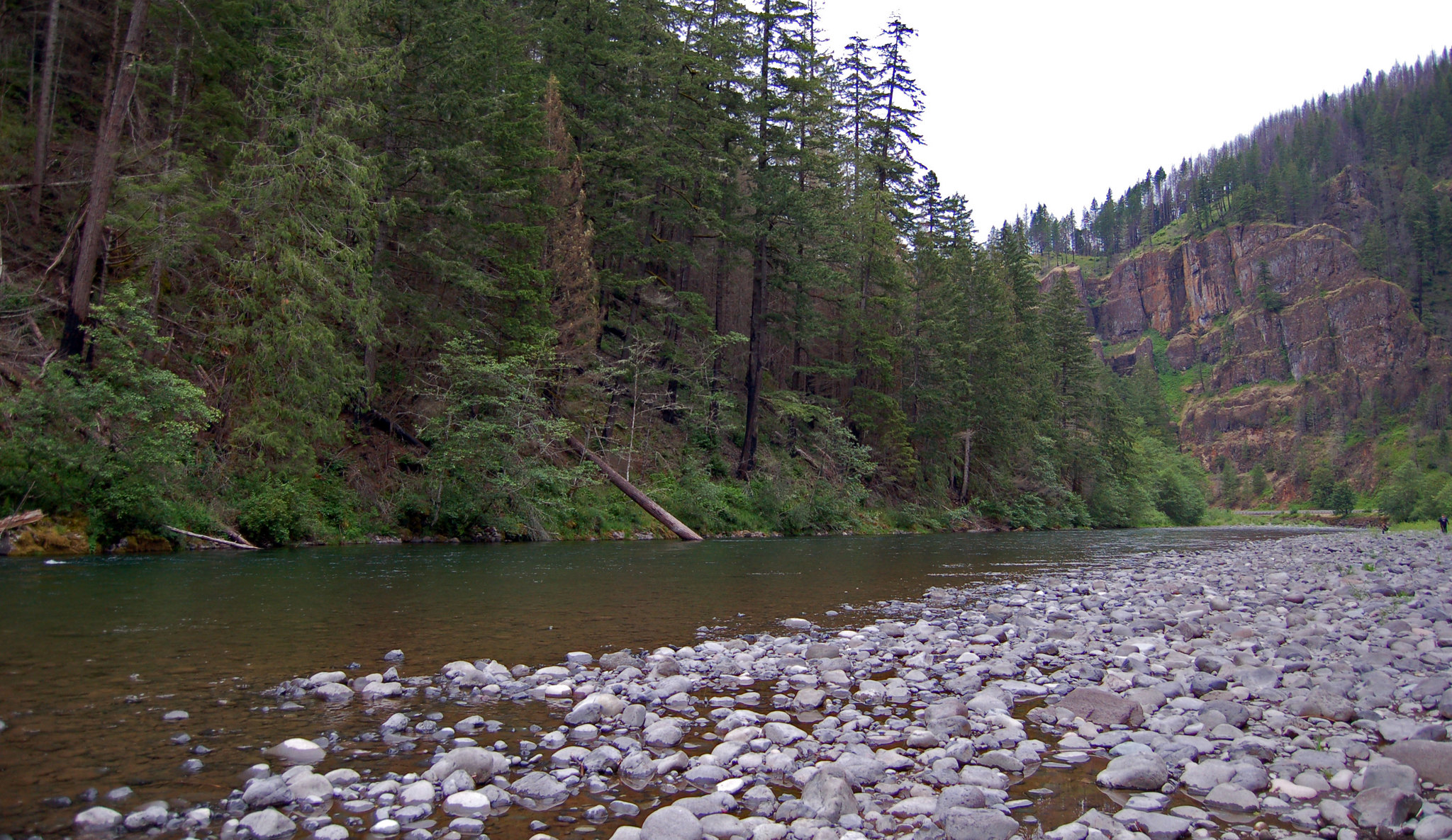
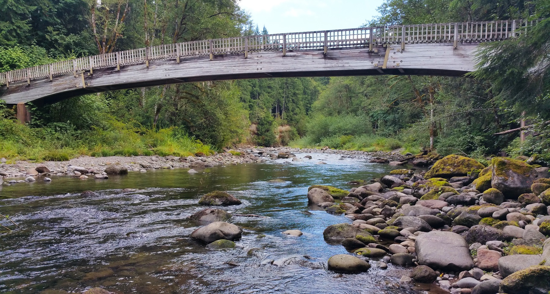
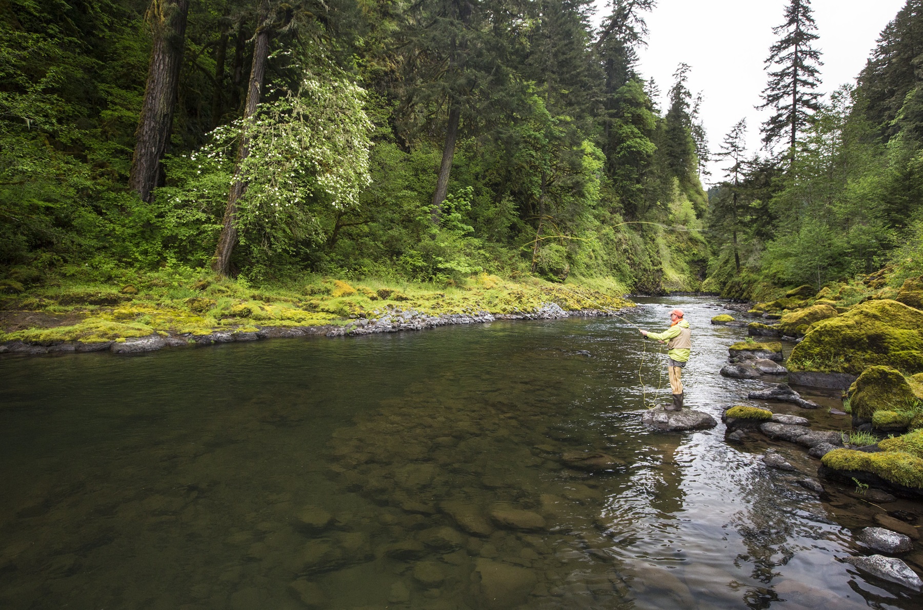
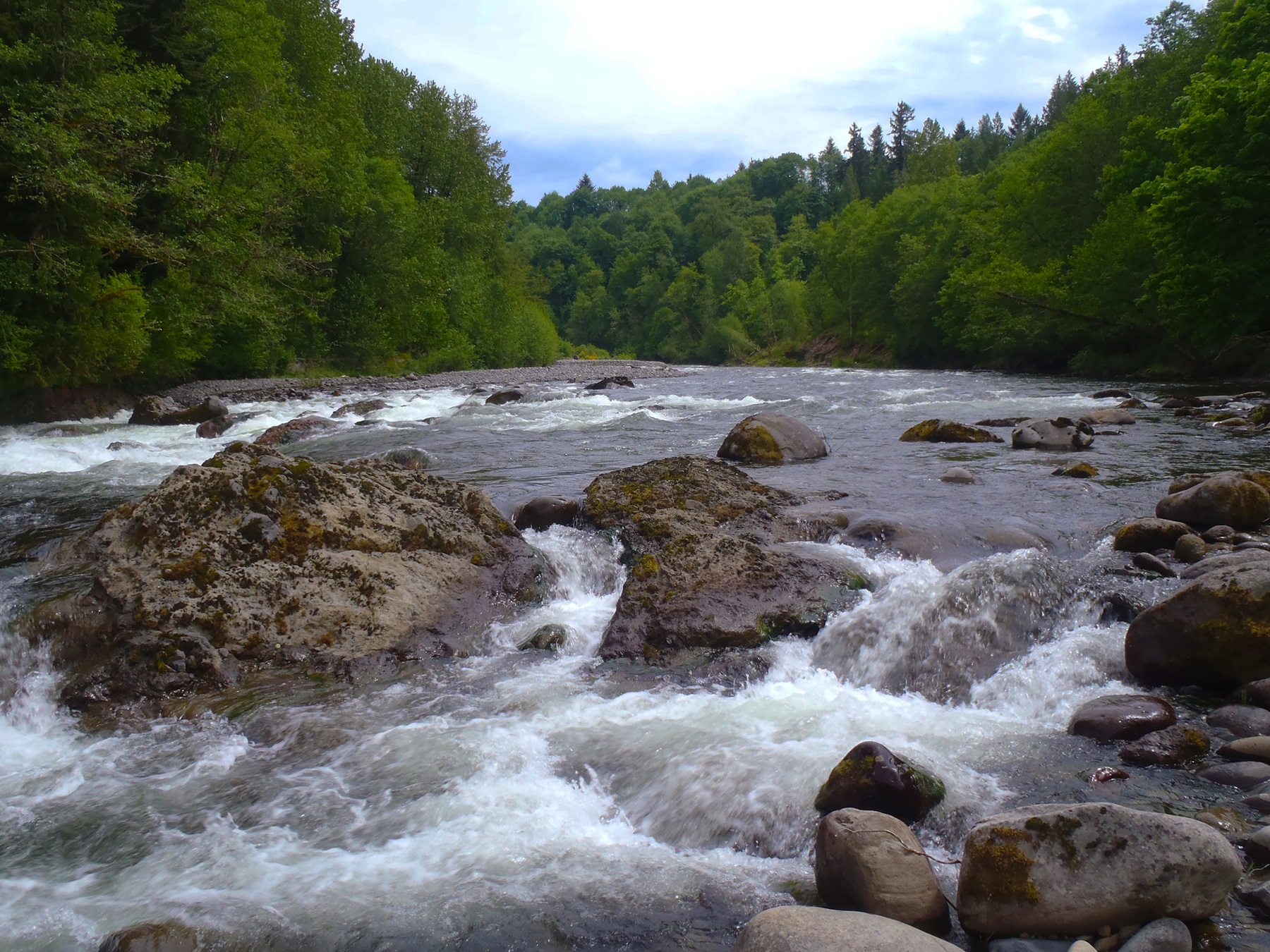
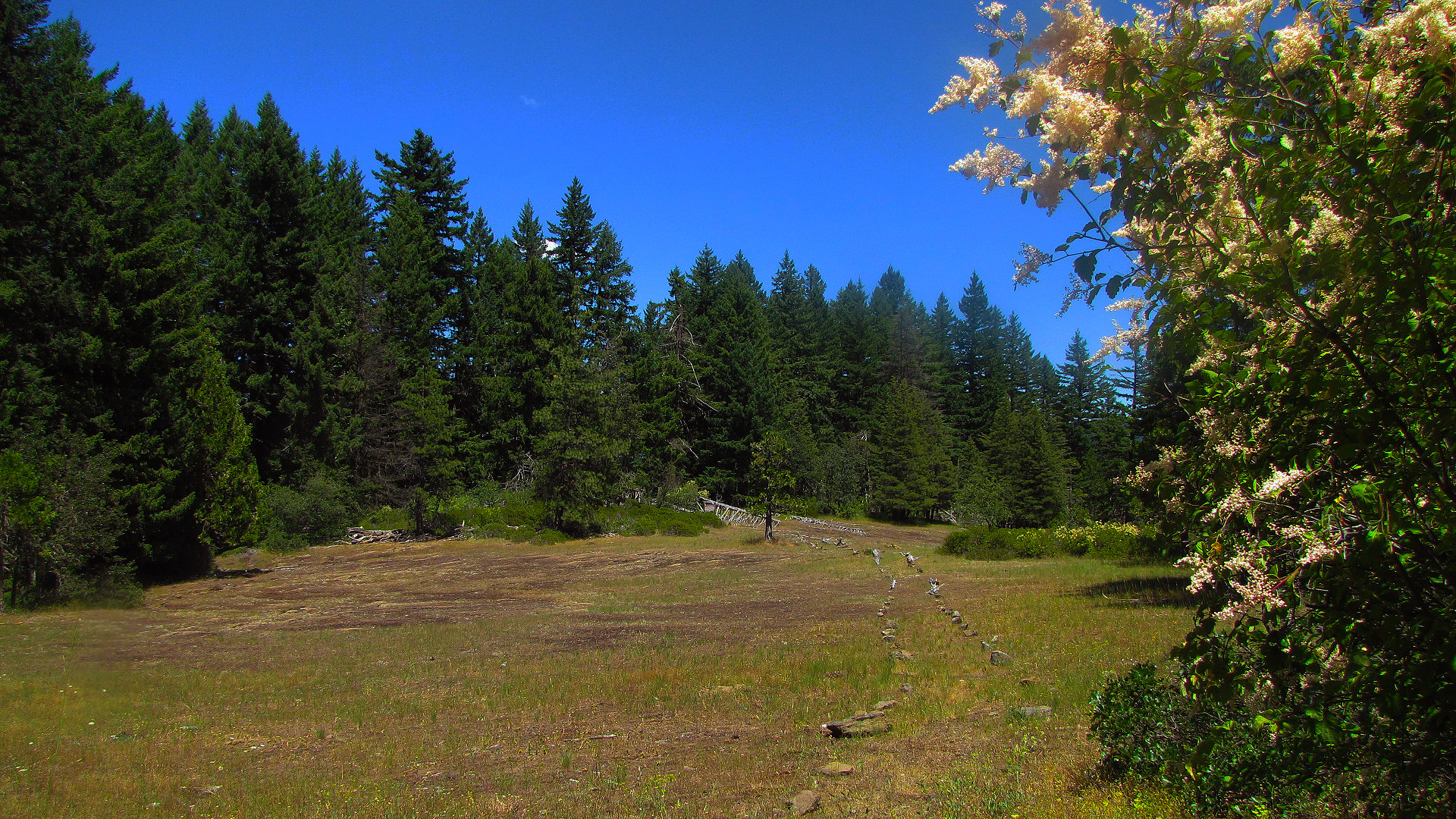
Imported descriptionThe Clackamas River is located to the west of the Cascade Range and to the south of the Columbia River Gorge in northern Oregon. Flowing northwest from its sources high in the Cascade Mountains, the designated portion of the river, which is 47 miles (75.6 km) in length, runs from Big Spring (headwaters area) to Big Cliff, just south of the town of Estacada. This most picturesque region is entirely within the Mt. Hood National Forest and encompasses forested lands, wetlands, riparian areas and rock cliffs.Of the 47 miles of the river that carry the wild and scenic designation, the Bureau of Land Management manages a small-but-important portion: six-tenths of a mile of river adjacent to Oregon State Hwy. 224, from a point west of the U.S. Forest Service’s Lazy Bend Campground to a half mile above the river’s bend westward at Big Cliff. The area is most recognizable by the green Pratt truss bridge at Memaloose Road, now closed to vehicular traffic, which sits atop the river and connects walkers to the day-use area on the river’s south side.Know Before You GoThere are no facilities on the Bureau of Land Management portion of the river; however the Forest Service’s seasonal Lazy Bend campground and Big Eddy Picnic Area offer nearby amenities.State Highway 224, following the Clackamas River, enjoys two designations: Cascading Rivers State Scenic Bikeway and the West Cascades National Scenic Byway.Don't Move Firewood: Please protect Pacific Northwest forests by preventing the spread of invasive species. Firewood can carry insects and diseases that can threaten the health of our western forests. You can make a difference by obtaining and burning your firewood near your camping destination.Point of InterestThe area is most recognizable by the green Pratt truss bridge at Memaloose Road, now closed to vehicular traffic, which sits atop the river and connects walkers to a primitive day-use area on the river's south side.
Source: recreation.gov
Reviews
No reviews yet
Be the first to share your experience and help others plan their visit.
Hunting in this park
Hunting is generally prohibited in this National Park Service unit
Verify current park-specific rules with the National Park Service before planning any hunt. See NPS regulations
Within ~100 miles
Parks near Clackamas Wild and Scenic River
recreation area
Park
South Fork Clackamas Wild and Scenic River
Oregon
Nat'l Recreation Area
Park
Test Forest
Oregon
recreation area
Park
Salmon Wild and Scenic River
Oregon
Nat'l Recreation Area
Park
Molalla
Oregon
Nat'l Recreation Area
Park
Table Rock Wilderness
Oregon
Nat'l Recreation Area
Park
Sandy Wild and Scenic River
Oregon
Same state
More parks in Oregon

Featured
National Park
Park
Crater Lake National Park
Oregon
286 sq mi
Featured
National Forest
Park
Mt. Hood National Forest
Oregon
1,667 sq mi
Nat'l Recreation Area
Park
Agate Reservoir
Oregon
recreation area
Park
Agency Lake Ranch
Oregon
Nat'l Recreation Area
Park
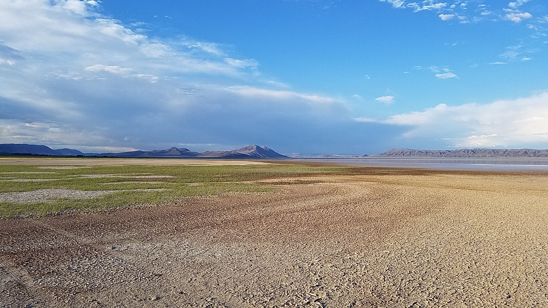
Alvord Desert
Oregon

wildlife refuge
Park
Ankeny National Wildlife Refuge
Oregon
Nat'l Recreation Area
Park
Baker Cypress Trail
Oregon
Nat'l Recreation Area
Park
Bandon Marsh National Wildlife Refuge
Oregon
Spot an error in our data on Clackamas Wild and Scenic River?