Nat'l Recreation Area
Official sources & verification
Managed by National Recreation Area
Source of truth
- Agency source page
The page our published rules and notes are derived from.
Managing agency
- National Recreation Area
Find offices, alerts, and current orders for this agency.
Verify by phone or mail
- Operator:(213) 452-3402
- Address:CA
About
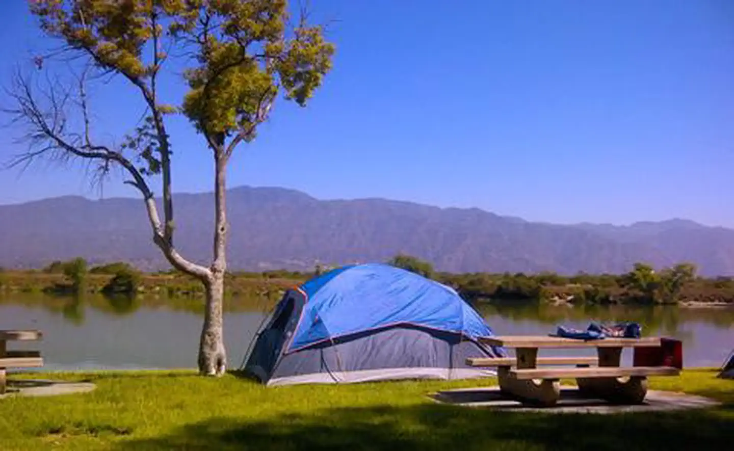
Imported descriptionManaged by Orange County, there is no permanent pool, but varied facilities such as fishing, picnic areas, a nature trail, and tennis. The site of the historic oil boom town of Olinda. Adjoins Chino Hills State Park.
Source: recreation.gov
From Wikipedia
Carbon Canyon Dam is a dam at the northern edge of Orange County, California. The dam is approximately 4 miles (6.4 km) east of the city of Brea and approximately 12 miles (19 km) north of the city of Santa Ana. The drainage area above the dam is 19.3 square miles (50 km2) and is encompassed entirely within the Puente and Chino Hills. The Carbon Canyon Creek flows in a generally southwesterly direction onto the coastal Orange County Plain, joins Coyote Creek, and then flows into the San Gabriel River.
Source: Wikipedia — text licensed CC BY-SA 4.0. Verify alerts and operational details with the managing agency below.
Reviews
No reviews yet
Be the first to share your experience and help others plan their visit.
Hunting in this park
Hunting is generally prohibited in this National Park Service unit
Verify current park-specific rules with the National Park Service before planning any hunt. See NPS regulations
Within ~100 miles
Parks near Carbon Canyon Dam

Same state
More parks in California

Featured
National Park
Park
Death Valley National Park
California
5,326 sq mi
Featured
National Forest
Park
Inyo National Forest
California
2,974 sq mi

Featured
National Park
Park
Joshua Tree National Park
California
1,242 sq mi

Featured
National Park
Park
Redwood National and State Parks
California
217 sq mi

Featured
National Park
Park
Sequoia National Park
California
631 sq mi
Featured
National Forest
Park
Shasta-Trinity National Forest
California
3,438 sq mi

Featured
National Park
Park
Yosemite National Park
California
1,190 sq mi
Nat'l Recreation Area
Park
California
Spot an error in our data on Carbon Canyon Dam?