Nat'l Recreation Area
Official sources & verification
Managed by National Recreation Area
Source of truth
- Agency source page
The page our published rules and notes are derived from.
Managing agency
- National Recreation Area
Find offices, alerts, and current orders for this agency.
Verify by phone or mail
- Operator:(281) 497-0740
- Address:LA
About
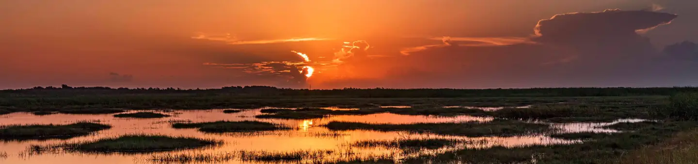
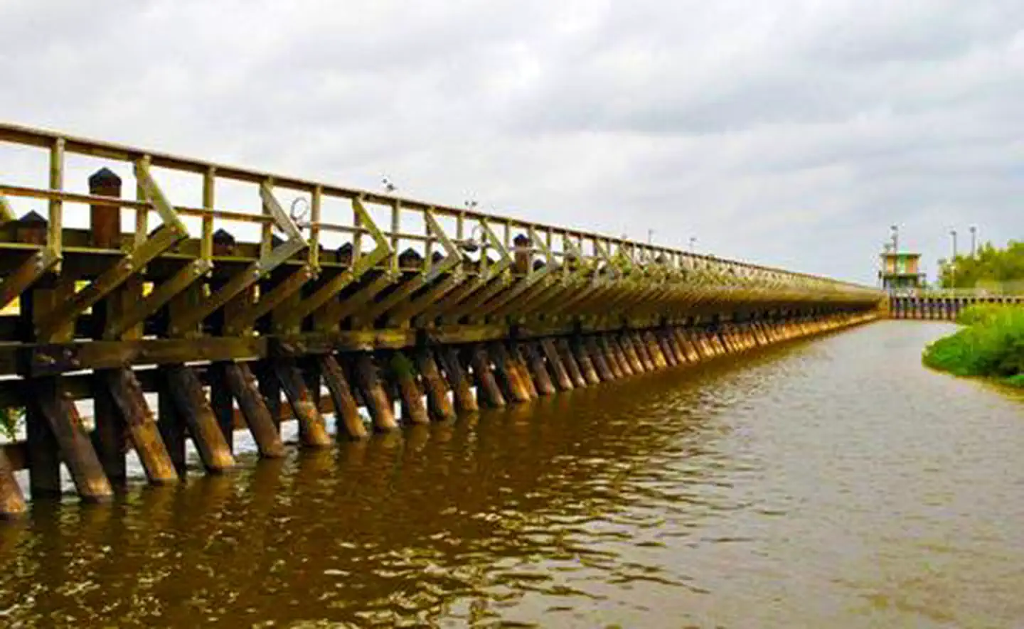
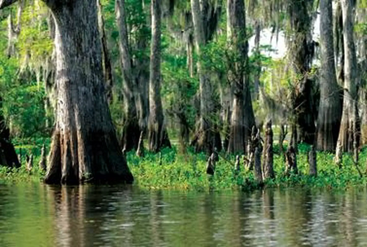
Buffalo Bayou is a slow-moving river which flows through Houston in Harris County, Texas. It was formed 18,000 years ago, flowing east for 53 miles from Katy, Fort Bend County to the Gulf of Mexico. It flows through and connects many Houston waterways including the Addicks and Barker reservoirs, the Brays Bayou, Carpenters Bayou, Greens Bayou, Sims Bayou, and White Oak Bayou, as well as other natural springs and surface runoff. Additionally, Buffalo Bayou is considered a tidal river downstream of a point 440 yards (400 m) west of the Shepherd Drive bridge in west-central Houston.
Source: Wikipedia — text licensed CC BY-SA 4.0. Verify alerts and operational details with the managing agency below.
Reviews
No reviews yet
Be the first to share your experience and help others plan their visit.
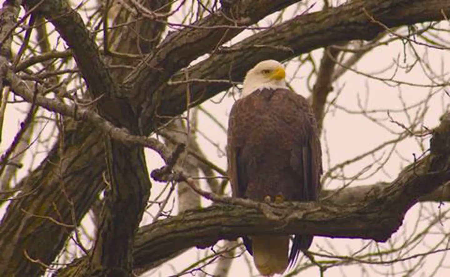
Hunting in this park
Hunting is generally prohibited in this National Park Service unit
Verify current park-specific rules with the National Park Service before planning any hunt. See NPS regulations
Within ~100 miles
Parks near Buffalo Bayou

Attwater Prairie Chicken National Wildlife Refuge
Louisiana
Parkwildlife refuge
Sam Houston National Forest
Texas
255 sq mi
ParkNational Forest
Brazoria National Wildlife Refuge
Louisiana
Parkwildlife refuge

Trinity River National Wildlife Refuge
Louisiana
Parkwildlife refuge
Wallisville Lake
Louisiana
ParkNat'l Recreation Area

Flower Garden Banks National Marine Sanctuary
Louisiana
ParkNat'l Recreation Area
Same state
More parks in Louisiana
Atchafalaya Basin
Louisiana
Parkrecreation area
Atchafalaya National Heritage Area
Louisiana
ParkNat'l Recreation Area
Atchafalaya National Wildlife Refuge
Louisiana
Parkwildlife refuge

Bayou Bodcau Reservoir
Louisiana
ParkNat'l Recreation Area
Bayou Cocodrie National Wildlife Refuge
Louisiana
Parkwildlife refuge
Bayou Teche National Wildlife Refuge
Louisiana
ParkNat'l Recreation Area
Big Boggy National Wildlife Refuge
Louisiana
Parkwildlife refuge

Black Bayou Lake National Wildlife Refuge
Louisiana
Parkwildlife refuge
Spot an error in our data on Buffalo Bayou?