
1 / 2
Nat'l Recreation Area
Official sources & verification
Managed by U.S. Forest Service
Source of truth
- Agency source page
The page our published rules and notes are derived from.
Managing agency
- U.S. Forest Service
Find offices, alerts, and current orders for this agency.
Verify by phone or mail
- Operator:1111111111
- Email:SM.FS.bighorninfo@usda.gov
- Address:WY
About
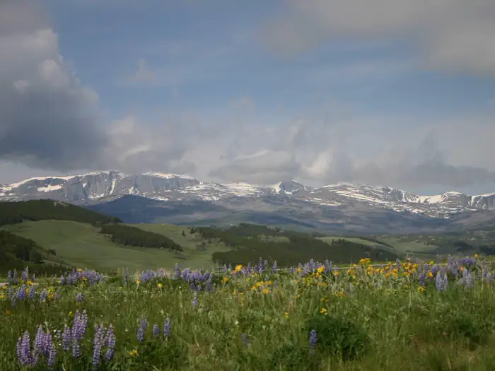
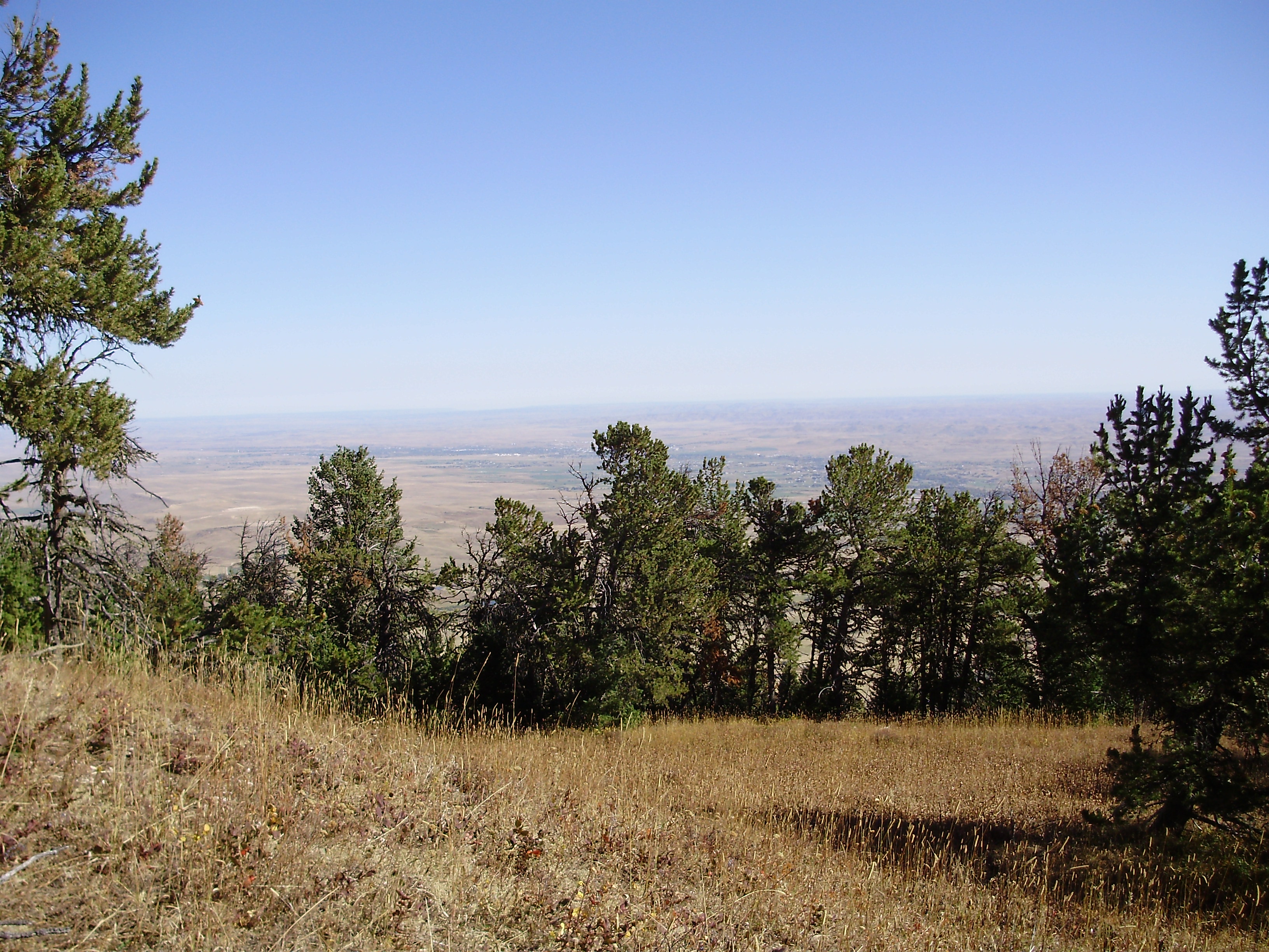
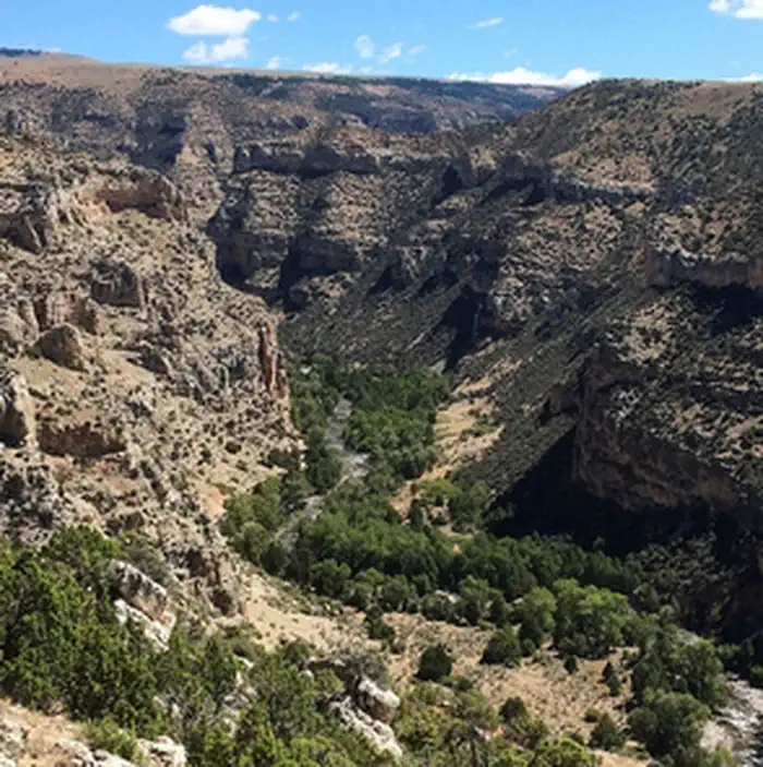
The Bighorn National Forest is a U.S. National Forest located in northern Wyoming, United States and consists of over 1.1 million acres (4,500 km2). Created as a US Forest Reserve in 1897, it is one of the oldest government-protected forest lands in the U.S. The forest is well east of the continental divide and extends from the Montana border for a distance of 80 miles (130 km) along the spine of the Bighorn Mountains, an outlying mountain range separated from the rest of the Rocky Mountains by Bighorn Basin. Elevations range from 5,000 feet (1,500 m) along the sagebrush and grass-covered lowlands at the foot of the mountains, to 13,189 feet (4,020 m) on top of Cloud Peak, the highest point in the Bighorn Mountains. Around 99% of the land is above 1,500 metres (4,900 ft). The forest is named after the Bighorn River, which is partially fed by streams found in the forest. Streams in the range are fed primarily by snowmelt and snowmelt mixed with driving rainfall.
Source: Wikipedia — text licensed CC BY-SA 4.0. Verify alerts and operational details with the managing agency below.
Reviews
No reviews yet
Be the first to share your experience and help others plan their visit.
Hunting in this park
This park overlaps hunting units
During hunting seasons, wear blaze orange and check regulations — see the Wyoming hunting page
Within ~100 miles
Parks near Bighorn National Forest
Nat'l Recreation Area
Park
Red Grade Trails
Wyoming
Nat'l Recreation Area
Park
Trapper Creek WSA
Wyoming
Nat'l Recreation Area
Park
Medicine Lodge WSA
Wyoming
Nat'l Recreation Area
Park
Alkali Creek WSA
Wyoming
Nat'l Recreation Area
Park
Lone Tree Trail
Wyoming
Nat'l Recreation Area
Park
Paint Rock Canyon Trail
Wyoming
Same state
More parks in Wyoming
Featured
National Forest
Park
Bridger-Teton National Forest
Wyoming
5,313 sq mi

Featured
National Park
Park
Grand Teton National Park
Wyoming
484 sq mi

Featured
National Park
Park
Yellowstone National Park
Wyoming
3,468 sq mi
Nat'l Recreation Area
Park
Agate Fossil Beds National Monument
Wyoming
recreation area
Park
Alcova Reservoir
Wyoming
Nat'l Recreation Area
Park
Angostura Reservoir
Wyoming

Nat'l Recreation Area
Park
Atlantic City/South Pass
Wyoming
recreation area
Park
Baldwin Creek Climbing Area
Wyoming
Spot an error in our data on Bighorn National Forest?