BLM
South Fork of The Snake
Verify with the local BLM field office
BLM site amenities, road access, and fire restrictions are managed by the local field office. Conditions change with weather and season — confirm before traveling.
Pricing
Check official pricing0.0
0 Reviews
Official sources & verification
Managed by Bureau of Land Management
Source of truth
- Agency source page
The page our published rules and notes are derived from.
Verify by phone or mail
- Operator:(208) 524-7500
- Email:BLM_ID_UpperSnakeOffice@blm.gov
About
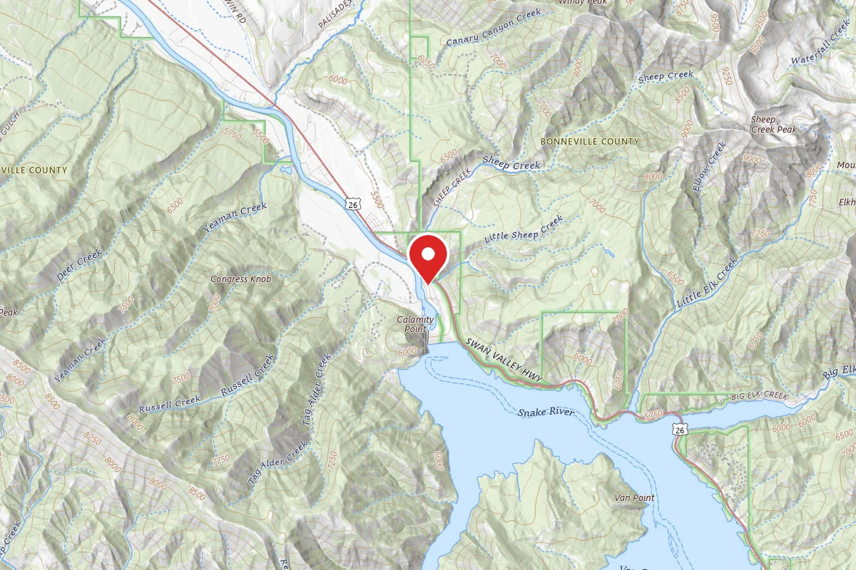
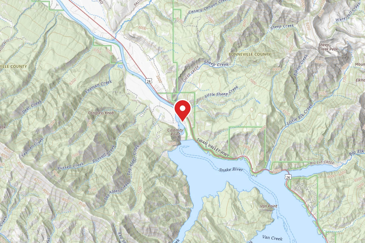
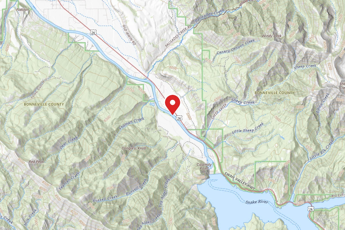
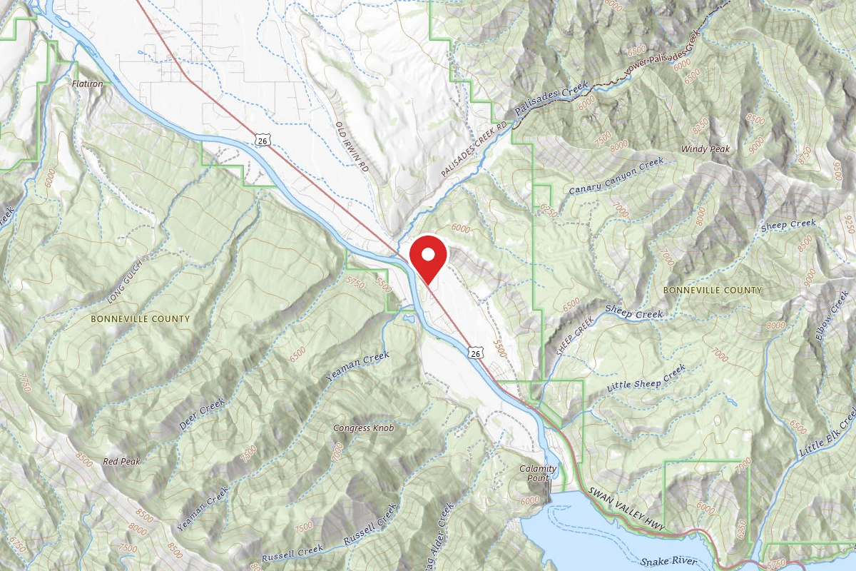
The South Fork of the Snake River flows for 66 miles across southeastern Idaho, through high mountain valleys, rugged canyons, and broad flood plains to its confluence with the Henrys Fork of the Snake near the Menan Buttes. It flows northwest from Palisades Dam in Swan Valley. For the first nine miles, the river runs through a narrow channel, then widens and flows around several island complexes. A waterfall can be seen just upstream from the Swan Valley Bridge where Fall Creek cascades into the river. Downstream of Conant launch the river leaves Highway 26 and enters a scenic canyon. The impressive canyon scenery continues downstream until near Heise Hot Springs, where the cliffs give way to a level, but extremely dynamic, flood plain.
The South Fork supports the largest riparian cottonwood gallery forest in the West and is among the most unique and diverse ecosystems in Idaho. It is also home to 126 bird species, including 21 raptors, meriting a "National Important Bird Area" designation. The river also supports the largest native cutthroat fishery outside of Yellowstone National Park. The corridor is also home for an impressive array of other wildlife including moose, deer, elk, mountain goats, mountain lions, black bears, bobcats, coyotes, river otter, beaver, fox, and mink.
The South Fork is also located near some of the world's best known recreation areas including Yellowstone and Grand Teton National Parks, Island Park, Targhee National Forest, Teton River, Henrys Lake State Park and the Henry's Fork of the Snake River. Among recreationists throughout the country, the South Fork is known as a premier blue ribbon trout fishery, and was selected as the host site for the 1997 World Fly-Fishing Championship. More than 300,000 anglers, campers, hikers, boaters and other recreationists use the South Fork each year.
Numerous hiking trails start near the South Fork. The Canyon Rim Trail begins in Black Canyon and follows the canyon upriver to Dry Canyon, providing magnificent views of the river below. A variety of trails exist on the Targhee National Forest in the Swan Valley area and along the South Fork. Some of these trails are available for mountain biking and off-highway vehicles.
The river is eligible for inclusion in the nation's Wild and Scenic river system. Land ownership in the corridor is a mixture of the Bureau of Land Management (BLM), U.S. Forest Service (USFS), Idaho Department of Fish and Game (IDF&G), State of Idaho, counties, and private interests. Along the Snake River corridor there are several boat access which include Byington, Conant, Lorenzo, and Menan.
Reviews
No reviews yet
Be the first to share your experience and help others plan their visit.
In this park
Trails at Caribou National Forest
Trail Canyon Springs
Idaho
1.0 mi361 ftgain
Difficulty: Easy
Big Canyon Haystack Connector
Idaho
3.8 mi2,749 ftgain
Difficulty: Difficult
Pritchard Creek Cutoff
Idaho
2.2 mi1,240 ftgain
Difficulty: Moderate
Telephone Draw
Idaho
1.5 mi282 ftgain
Difficulty: Easy
Bonneville Peak Trail
Idaho
3.2 mi1,680 ftgain
Difficulty: Difficult
Hornet Wood Connector
Idaho
3.3 mi928 ftgain
Difficulty: Moderate
Within ~30 miles
Trails near South Fork of The Snake
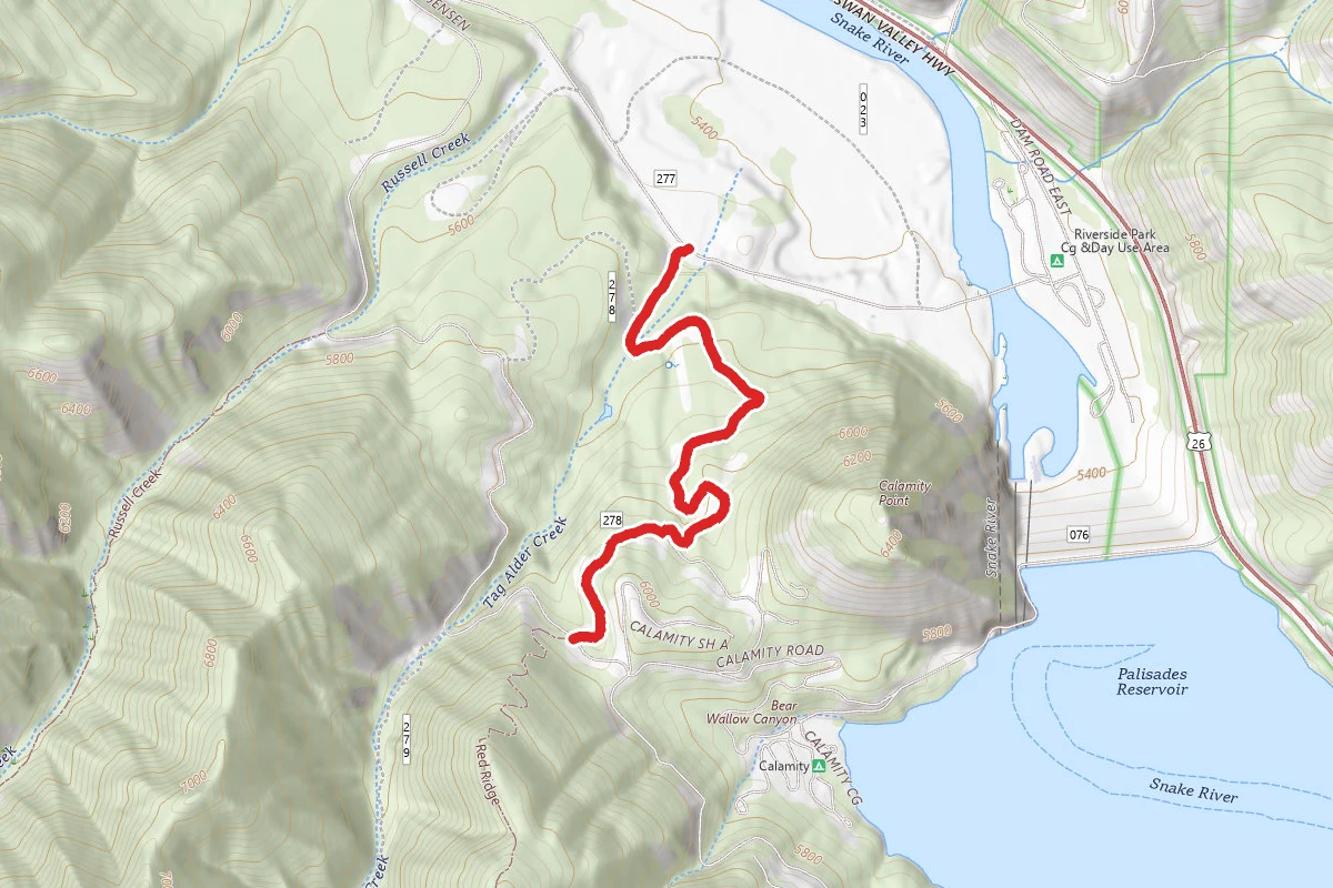
Calamity Cutoff
Idaho
1.5 mi
Trail
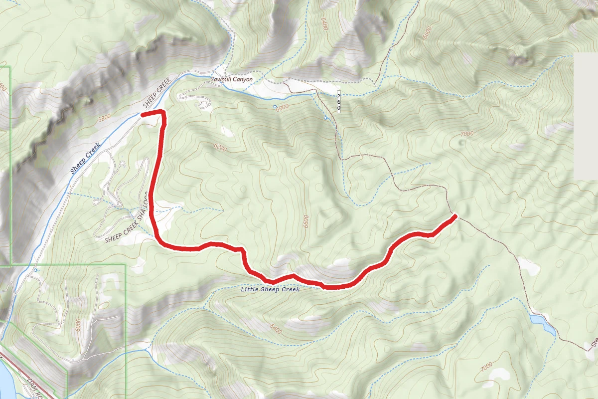
Little Sheep
Idaho
2.2 mi1,060 ftgain
TrailDifficulty: Moderate
Yeaman Creek
Idaho
4.2 mi2,690 ftgain
TrailDifficulty: Expert
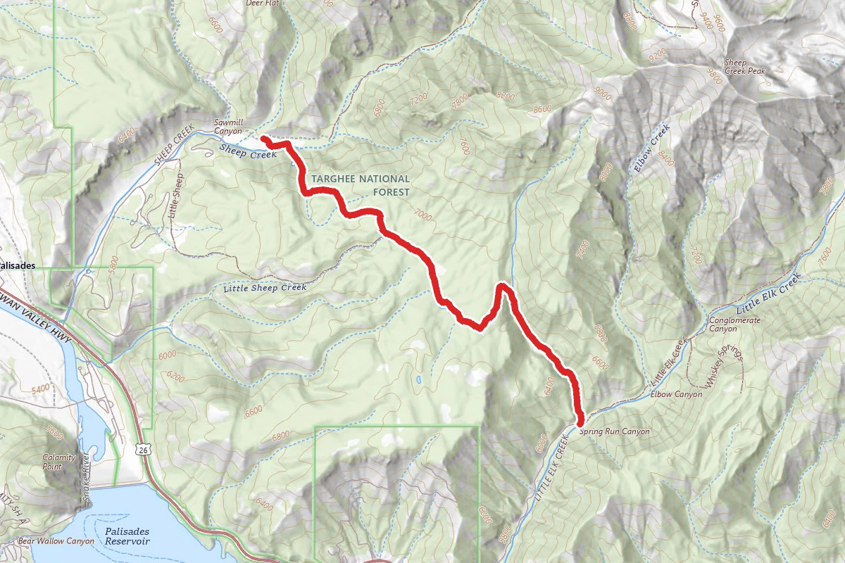
Sheep Creek/Little Elk
Idaho
3.4 mi984 ftgain
TrailDifficulty: Moderate
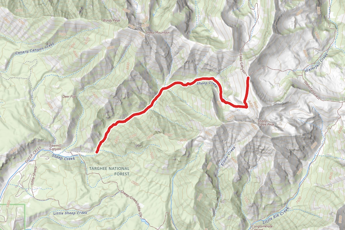
Sheep Creek
Idaho
3.5 mi3,445 ftgain
TrailDifficulty: Expert
Tag Alder
Idaho
1.2 mi1,230 ftgain
TrailDifficulty: Moderate
Hunt context
Hunting units around this campground
During hunting seasons, wear blaze orange and check regulations — see the Idaho hunting page
Nearby Campgrounds
Spot an error in our data on South Fork of The Snake?