BLM
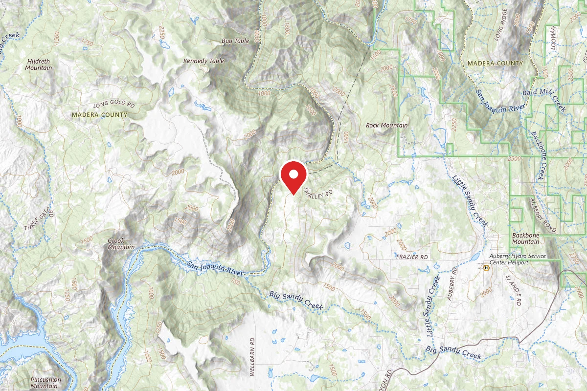
San Joaquin River Gorge Special Recreation Management Area
CA
Verify with the local BLM field office
BLM site amenities, road access, and fire restrictions are managed by the local field office. Conditions change with weather and season — confirm before traveling.
Pricing
Check official pricing0.0
0 Reviews
Official sources & verification
Managed by Bureau of Land Management
Source of truth
- Agency source page
The page our published rules and notes are derived from.
Verify by phone or mail
About
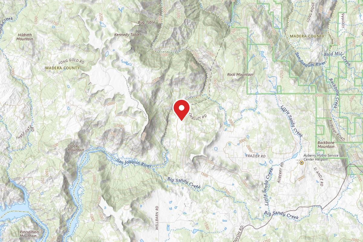
NOTICE: Between February 2nd to February 12th, high water flows and potential flow fluctuations are expected in the San Joaquin River below the Kerckhoff Dam. The BLM advises all visitors to stay out of the water during this time.OverviewThe scenic San Joaquin River Gorge Special Recreation Management Area straddles the San Joaquin River just upstream from Millerton Lake State Recreation Area and includes lands in both Fresno and Madera Counties. Multiple campground and day-use sites are available for your enjoyment including: Ya-Gub-Weh-Tuh Campground, Aholul Group Campground, Equestrian Campground, River Access Day-Use, and a Visitor Center with extensive opportunities for educational experiences for visitors, schools, and other groups. With over 20 miles of outstanding multi-use trails that weave their way through the management area, there's a trail waiting your next adventure. Fee ScheduleDay Use (per vehicle)………..$5Annual Pass…………………..$25Individual Campsite…………..$10Double Campsite (2 tables)….$15Equestrian Campsite…………$25RV Camping (Equestrian Camp)...$25Group Campground*…………$175Nuckahee Learning Center*…$300America the Beautiful Annual Pass...$80*The Group Campground and Nuckahee Learning Center require reservations. Please contact the Visitor Center at 559-855-3492 for more information. Trails of the GorgeThe Dumna and Kechayi Native Americans once called the Gorge home and are still active in the area, practicing their cultural traditions which include ceremonies on site. It is from their language that we derive the names of the trails contained within the Management Area. All trails are multi-use, shared by hikers, mountain bikers and equestrian users. Motorized use on trails is prohibited. Foot Bridge TrailDistance: 1 Mile to Foot BridgeRound Trip from Ya-Gub-Weh-Tuh parking: 2 MilesThe Foot Bridge is one of the most sought-after sites here at the San Joaquin River Gorge. Please remember while the slope is gradual downhill to the Bridge, it is up-hill on the way back. Be sure to plan accordingly and bring plenty of water! Pa'san Ridge TrailDistance: 6 mile loop (begins across the Foot Bridge)Round Trip from Ya-Gub-Weh-Tuh parking: 8 MilesThe Pa'san (pine nut) Ridge Trail is a six-mile loop trail. This trail takes one into the chaparral clothed uplands where they will encounter mountain lilac (ceanothus), manzanita, mountain mahogany, and many other shrubs and wildflowers. Wuh-ki'o TrailDistance: 4 milesRound Trip from Ya-Gub-Weh-Tuh parking: 11 MilesThe Wuh-ki'o (Dumna/Kechayi word for San Joaquin River) Trail starts from the west side of the loop on the Pa'san Ridge Trail. About four miles long, it connects with Millerton Lake State Recreation Area on the Madera County side of the reservoir. The trail follows along the river and leads the traveler through oak woodlands with their mixture of foothill pines, shrubs and numerous wildflowers. San Joaquin River TrailDistance: 2 miles (to BLM boundary)Round Trip from Ya-Gub-Weh-Tuh parking: 4 MilesA portion of the San Joaquin River Trail (SJRT). Access to the trail is across the road from the Ya-Gub-Weh-Tuh parking and guides you into the Millerton Lake State Recreation Area. When complete the San Joaquin River Trail will eventually connect Highway 99 to the Pacific Crest Trail near the Devils Postpile National Monument. Portions of the trail cover prehistoric trade routes of the Mono Indians. River Access TrailDistance: 1/2 mileRound Trip from River Access Parking: 1 mileA short switchback trail leading down to the San Joaquin River's edge through the oak woodlands and grass understory. Day use parking is available at this trail head.
Reviews
No reviews yet
Be the first to share your experience and help others plan their visit.
Within ~30 miles
Trails near San Joaquin River Gorge Special Recreation Management Area
Pa'san Ridge Trail
California
3.4 mi1,050 ftgain
TrailDifficulty: Moderate
Pa'san Ridge Trail
California
1.2 mi
Trail
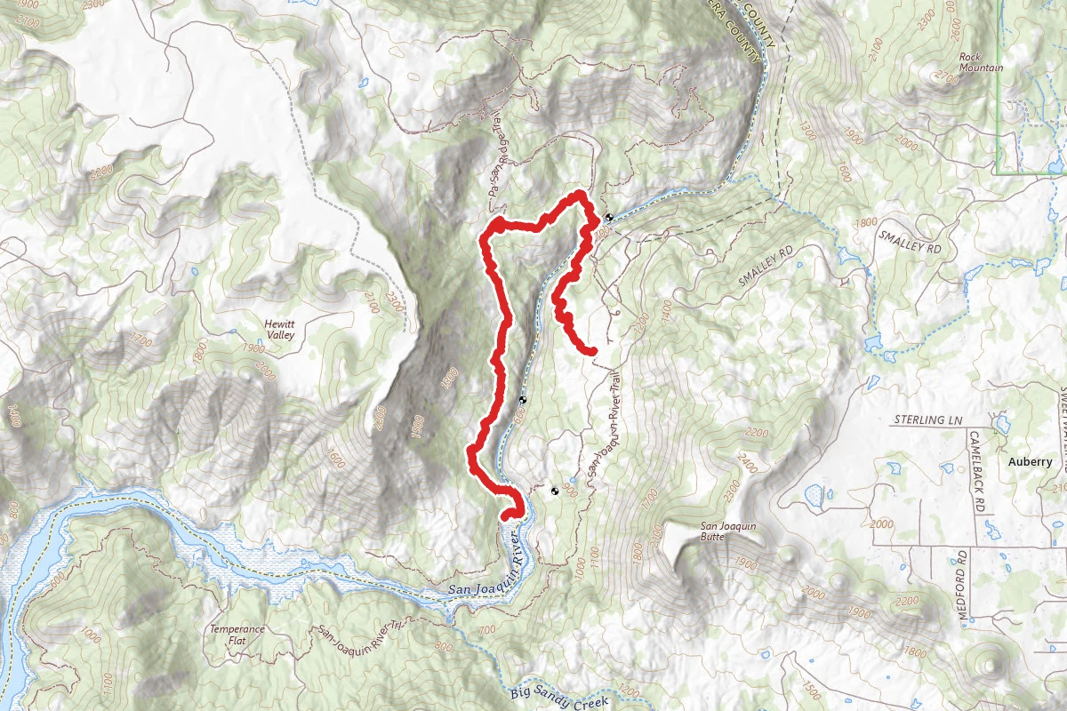
Wuh-Ki'o Trail
California
8.0 mi2,054 ftgain
TrailDifficulty: Difficult
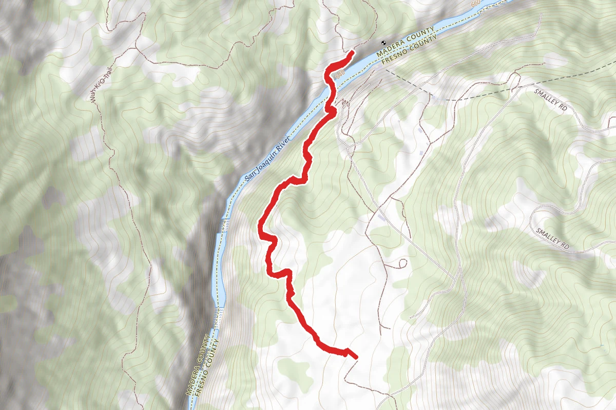
San Joaquin River Gorge Trail
California
2.1 mi604 ftgain
TrailDifficulty: Moderate
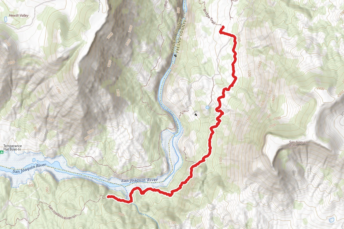
Ya-Gub-Weh-Tuh Trail to Bog Sandy Creek Bridge
California
5.3 mi1,529 ftgain
TrailDifficulty: Difficult
Pa'san Ridge Trail
California
0.6 mi
Trail
Hunt context
Hunting units around this campground
During hunting seasons, wear blaze orange and check regulations — see the California hunting page
Nearby Campgrounds
Spot an error in our data on San Joaquin River Gorge Special Recreation Management Area?