BLM
Mule Creek Trail
OR
Verify with the local BLM field office
BLM site amenities, road access, and fire restrictions are managed by the local field office. Conditions change with weather and season — confirm before traveling.
Pricing
Check official pricing0.0
0 Reviews
Official sources & verification
Managed by Bureau of Land Management
Source of truth
- Agency source page
The page our published rules and notes are derived from.
Verify by phone or mail
- Operator:(541) 471-6500
- Email:BLM_OR_MD_Mail@blm.gov
About
The Mule Creek trail is located in the Wild Rogue Wilderness and meanders along vertical bluffs high above Mule Creek and East Fork Fork Mule Creek Canyons. This trail was constructed in the early 1900's and historically has been used by miners and other early settlers as a pack trail to haul supplies into the backcountry. The U.S. Forest Service also used it to reach the lookout tower at Hanging Rock and the guard station at Marial. Hikers will enjoy a part of our history as well as scenic views, wildflowers and wildlife.The best time to hike the trail is in the Spring or Fall. Summer temperatures can reach 100 degrees F on south-facing slopes. Camping along the trail is at dispersed sites. Carry water with you. Water is available near the south trailhead at the Rogue River Ranch. The water at Tucker Flat campground is not potable; the north trailhead has no spring water.The north end of the trail connects with the Panther Ridge trail, Forest Service trail #1253. The south end of the trail is 1/2 mile from the Rogue River Ranch.Know Before You Go:From Tucker Flat Campground, the trail climbs approximately 3000 vertical feet over 6.5 milesTucker Flat Campground is a no-host campground with six campsites with no hook-ups and no potable water. This year-round, first-come first serve campground features pit toilets, picnic tables and is situated along the Grave Creek to Marial Back Country Byway.The 35,221-acre Wild Rogue Wilderness is co-managed by the Bureau of Land Management and the US Forest Service.Point of Interest:The 40-mile long Rogue River National Recreation Trail can also be accessed near the Tucker Flat Campground.
Reviews
No reviews yet
Be the first to share your experience and help others plan their visit.
Within ~30 miles
Trails near Mule Creek Trail
West Fork Mule Creek Trail
Oregon
6.7 mi2,789 ftgain
TrailDifficulty: Expert
Hanging Rock
Oregon
0.3 mi82 ftgain
TrailDifficulty: Easy
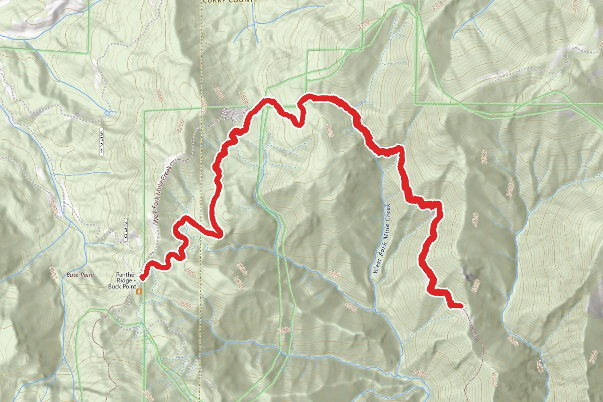
W. Fork Panther Ridge Trail
Oregon
7.0 mi2,887 ftgain
TrailDifficulty: Difficult
Devils Backbone
Oregon
1.5 mi564 ftgain
TrailDifficulty: Easy
Panther Ridge
Oregon
0.9 mi226 ftgain
TrailDifficulty: Easy
Panther Ridge
Oregon
4.9 mi820 ftgain
TrailDifficulty: Moderate
Hunt context
Hunting unit around this campground
During hunting seasons, wear blaze orange and check regulations — see the Oregon hunting page
Nearby Campgrounds
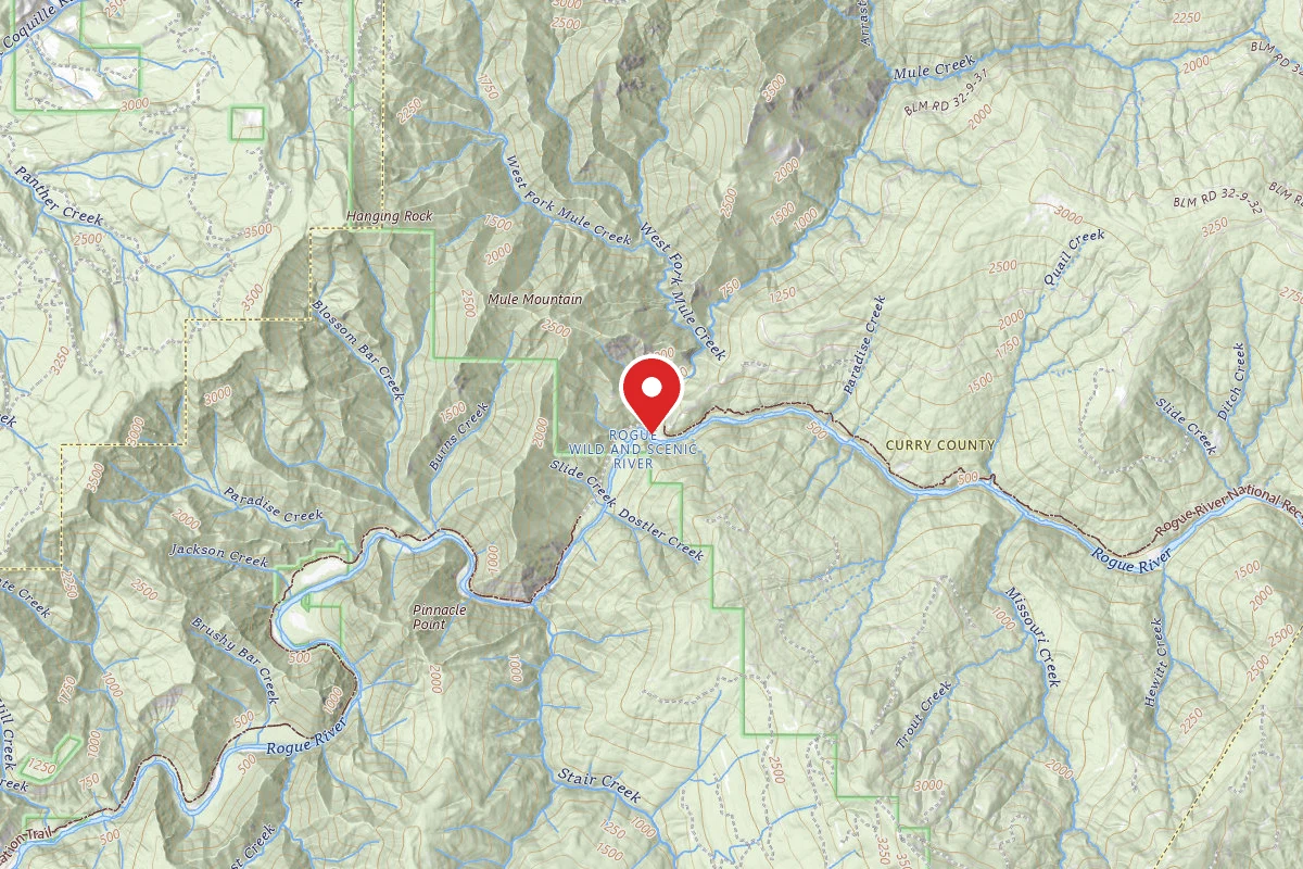
Last Chance
Pricing varies — check with the operator
Campground Dispersed
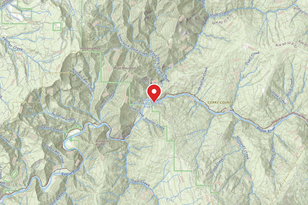
RRR South Bank
Pricing varies — check with the operator
Campground Dispersed
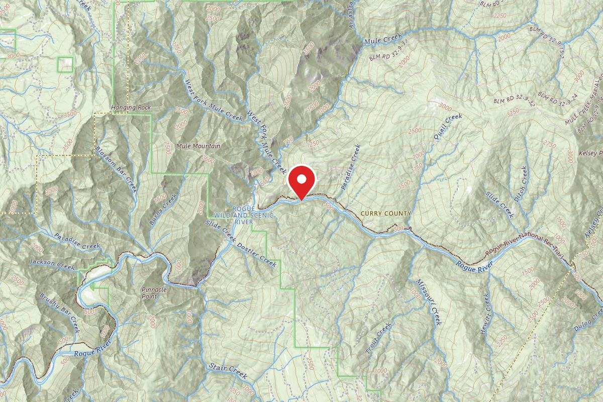
Little Maggie
Pricing varies — check with the operator
Campground Dispersed
Kai Beach
Pricing varies — check with the operator
Campground Dispersed
Long Beach
Pricing varies — check with the operator
Campground Dispersed
Long Gulch
Pricing varies — check with the operator
Campground Dispersed
Spot an error in our data on Mule Creek Trail?