No photos yet
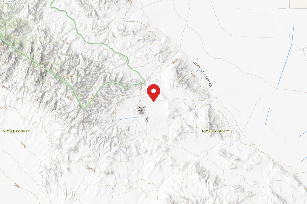
Cedar Mountains
UT
Verify with the local BLM field office
BLM site amenities, road access, and fire restrictions are managed by the local field office. Conditions change with weather and season — confirm before traveling.
Pricing
Check official pricing0.0
0 Reviews
Official sources & verification
Managed by Bureau of Land Management
Source of truth
- Agency source page
The page our published rules and notes are derived from.
Verify by phone or mail
- Operator:(801) 977-4300
- Address:UT
About
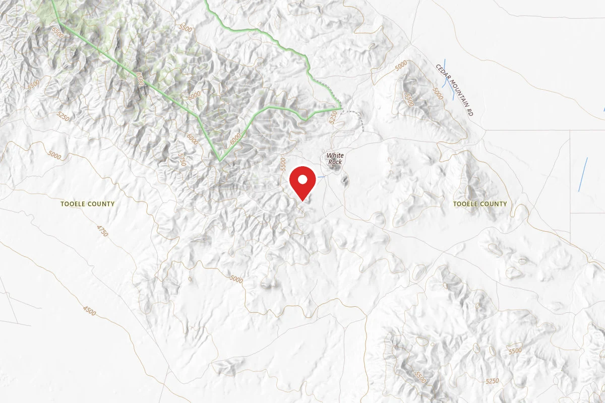
The Cedar Mountain Wilderness Area was officially designated by Congress and the President in January 2006. It encompasses 100,000 acres of public land 50 miles due west of Salt Lake City, just south of Interstate 80. With the mountainous topography and large size, there are many good opportunities to enjoy solitude, wildlands, and primitive recreation. The Cedar Mountain Wilderness provides visitors with an excellent example of the Great Basin ecosystem that stretches from the Wasatch Front in Utah to the Sierra Nevada Mountains in California. This arid desert mountain range forms the western boundary of Skull Valley and got its name from the area's juniper trees which are sometimes referred to as cedars. Vegetation in the Cedar Mountains transitions rapidly from Great Basin salt desert shrub covered benches at 4,600 feet to sagebrush/juniper woodlands and native bunch grasses at elevations over 6,000 feet. Topography generally consists of flat plains and benches that rise rapidly to higher elevations characterized by steep slopes and canyons. Maximum elevation is 7700 feet. The wilderness area is long and narrow, running north to south for 32 miles along the length of the Cedar Mountains with a maximum width of only 7 miles. There are natural springs that support both native wildlife, livestock, and a thriving herd of wild horses.
Reviews
No reviews yet
Be the first to share your experience and help others plan their visit.
Campground Rules
- Campfires generally permitted — verify current fire restrictions before lighting
Within ~30 miles
Trails near Cedar Mountains
Trail
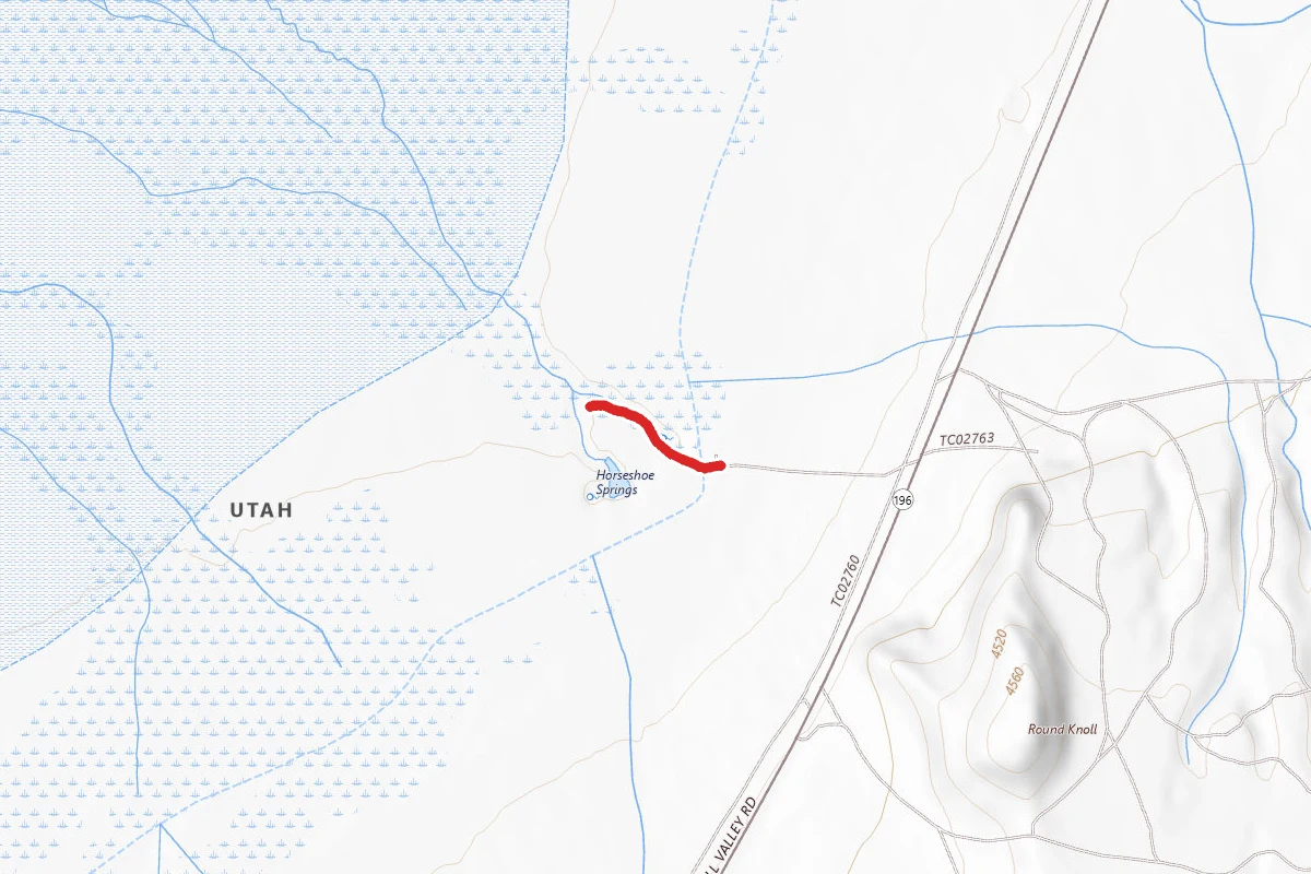
Horseshoe Springs
Utah
0.3 mi26 ftgain
Easy
Trail
Deseret Peak
Utah
7.4 mi3,606 ftgain
Expert
Trail
Day Lake and Stansbury Crest Trail to South Willow Lake
Utah
8.0 mi2,890 ftgain
Difficult
Trail
Medina Flats Trail
Utah
4.4 mi1,152 ftgain
Moderate
Trail
Stansbury Front Trail (Full Trail)
Utah
24.1 mi7,707 ftgain
Expert
Trail
West Canyon Trail
Utah
4.5 mi1,591 ftgain
Difficult
Hunt context
Hunting units around this campground
During hunting seasons, wear blaze orange and check regulations — see the Utah hunting page
Nearby Campgrounds
Spot an error in our data on Cedar Mountains?