State Park
Camp Muir
Mount Rainier National Park · Enumclaw, WA
Verify with the state park system
State parks set their own rules and reservation systems. Fire bans, road closures, and operating dates change seasonally — check the state park website before traveling.
Pricing
Check official pricing0.0
0 Reviews
Official sources & verification
Managed by State Park
Source of truth
- Agency source page
The page our published rules and notes are derived from.
Reserve or permit
- Reserve a site
Book a site directly with the operator.
Verify by phone or mail
- Address:Enumclaw, WA
About
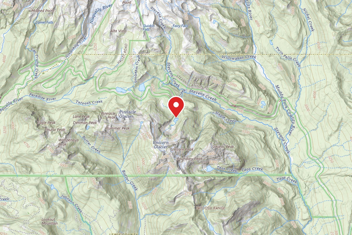
Camp Muir is the preferred basecamp for hikers and climbers attempting to summit Mt. Rainier. It is named after John Muir, renowned naturalist and a member of the sixth group to summit the iconic Pacific Northwest peak. Located at 10,080 feet in elevation, Camp Muir is not a campground in any traditional sense. It is made up of an old stone shelter which is open to the public on a first-come basis, and another outbuilding used by professional guide companies. If the shelter is full, climbers pitch their tents on the rocky scree field. A wilderness and climbing permit are required to access this part of Mt. Rainier Park. Reservations for those permits open in March of each year.
The approach to Camp Muir should not be attempted by anyone without significant mountaineering or route finding skills. The National Park Service offers specific compass bearings to travel through the Muir Snowfield. These bearing should be used in tandem with an accurate topographic map. Because snowstorms and fog events can cause whiteout conditions during any month of the year, traversing the Muir Snowfield to reach the camp is one of the most dangerous sections of the trail. There have been multiple fatalities in groups that got off route in this treacherous glacial area.
Because any night spent at Camp Muir is often a part of a much larger mountaineering attempt, campers must be well-prepared for high alpine conditions. Above treeline means that winds are high and cold, and any tent or shelter should be four-season rated. There are stream crossings during the approach, and, while the water must be treated, Pebble Creek is a good source to fill up containers- there is no water at Camp Muir. Use the ‘blue bag’ system for solid human waste- there is a receptacle at the camp.
Reviews
No reviews yet
Be the first to share your experience and help others plan their visit.
Amenities
Flush Toilets
Cell Service
Campground Rules
- No campfires allowed
In this park
Trails at Mount Rainier National Park
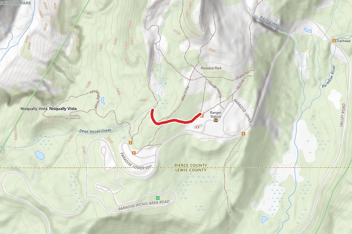
Within ~30 miles
Trails near Camp Muir
Disappointment Cleaver Route
Washington
1.8 mi2,267 ftgain
TrailDifficulty: Moderate
Disappointment Cleaver Route
Washington
1.4 mi1,998 ftgain
TrailDifficulty: Moderate
Camp Muir Route
Washington
1.9 mi2,854 ftgain
TrailDifficulty: Difficult
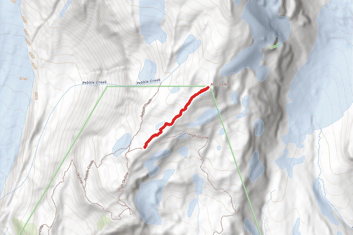
Mcclure Rock Trail
Washington
0.3 mi
Trail
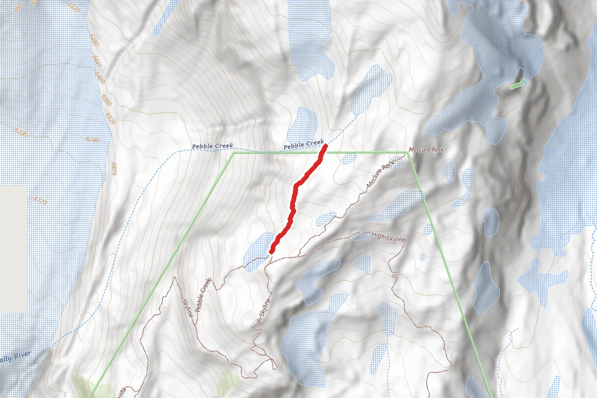
Pebble Creek Trail
Washington
0.3 mi
Trail
Emmons Glacier Route
Washington
2.2 mi4,751 ftgain
TrailDifficulty: Difficult
Hunt context
Hunting unit around this campground
During hunting seasons, wear blaze orange and check regulations — see the Washington hunting page
Nearby Campgrounds
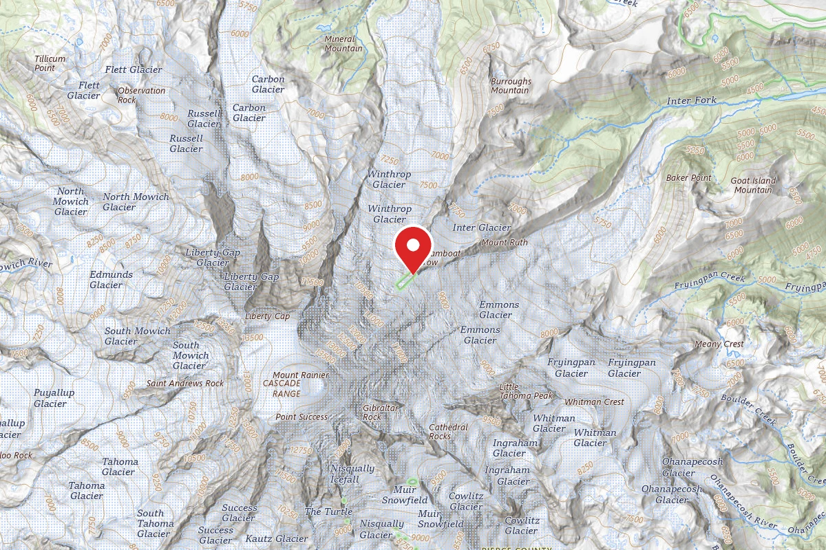
Spot an error in our data on Camp Muir?