BLM
Camp Ibis-Patton
Verify with the local BLM field office
BLM site amenities, road access, and fire restrictions are managed by the local field office. Conditions change with weather and season — confirm before traveling.
Pricing
Check official pricing0.0
0 Reviews
Official sources & verification
Managed by Bureau of Land Management
Source of truth
- Agency source page
The page our published rules and notes are derived from.
Managing agency
- Mojave Trails National Monument — official page
Park unit page with alerts and visitor information.
Verify by phone or mail
- Operator:(760) 326-7000
- Email:BLM_CA_Web_NE@blm.gov
About
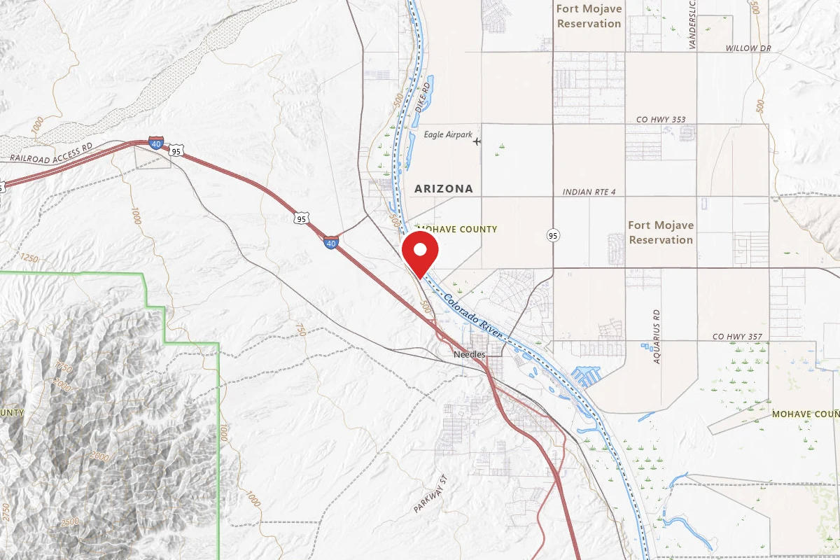
Camp Ibis was constructed in the winter of 1942-43 and stretched more than two miles north to south. The camp consisted of several armored divisions, each numbering more than 20,000 men. It contained 23 ranges, including ones for moving targets, pistols, rifles, and .50-caliber machine guns. It also had many combat ranges, vehicle combat ranges, and transition courses contained inside. Since it is one of the better-preserved divisional camps, there are many artifacts that still exist in the area including Unexploded Ordinance (UXO).
Reviews
No reviews yet
Be the first to share your experience and help others plan their visit.
Within ~30 miles
Trails near Camp Ibis-Patton
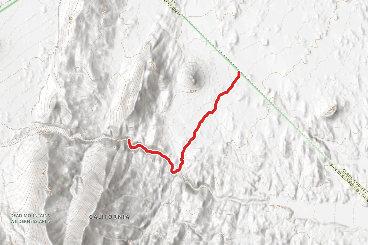
Picture Canyon
California
3.1 mi479 ftgain
TrailDifficulty: Moderate
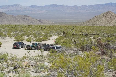
Mojave Road
Nevada
117.5 mi10,810 ftgain
TrailDifficulty: Moderate
Piute Canyon Loop Trail
California
2.1 mi
Trail
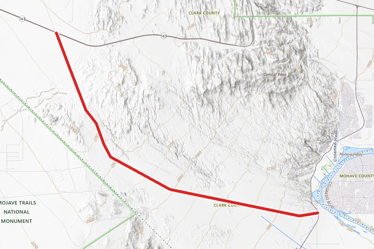
Needles to Laughlin Highways OHV Route
Nevada
11.0 mi2,513 ftgain
TrailDifficulty: Difficult
Swift Water Trail
Nevada
0.1 mi
Trail
Conservation Trail
Nevada
0.7 mi7 ftgain
TrailDifficulty: Easy
Hunt context
Hunting unit around this campground
During hunting seasons, wear blaze orange and check regulations — see the California hunting page
Nearby Campgrounds
Spot an error in our data on Camp Ibis-Patton?