Status unknown — verify before visiting

We don't have current condition data for this trail. Check with the land manager before you go.
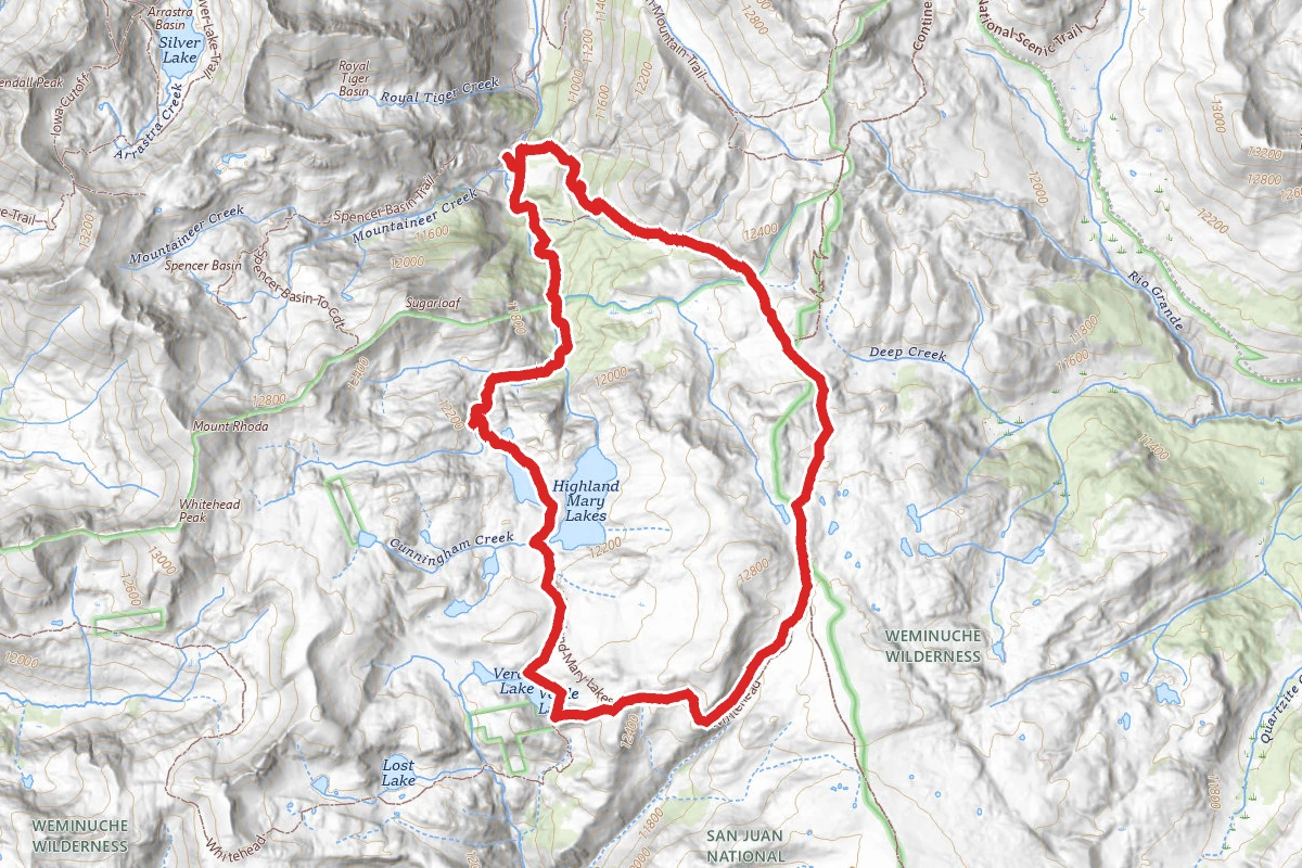
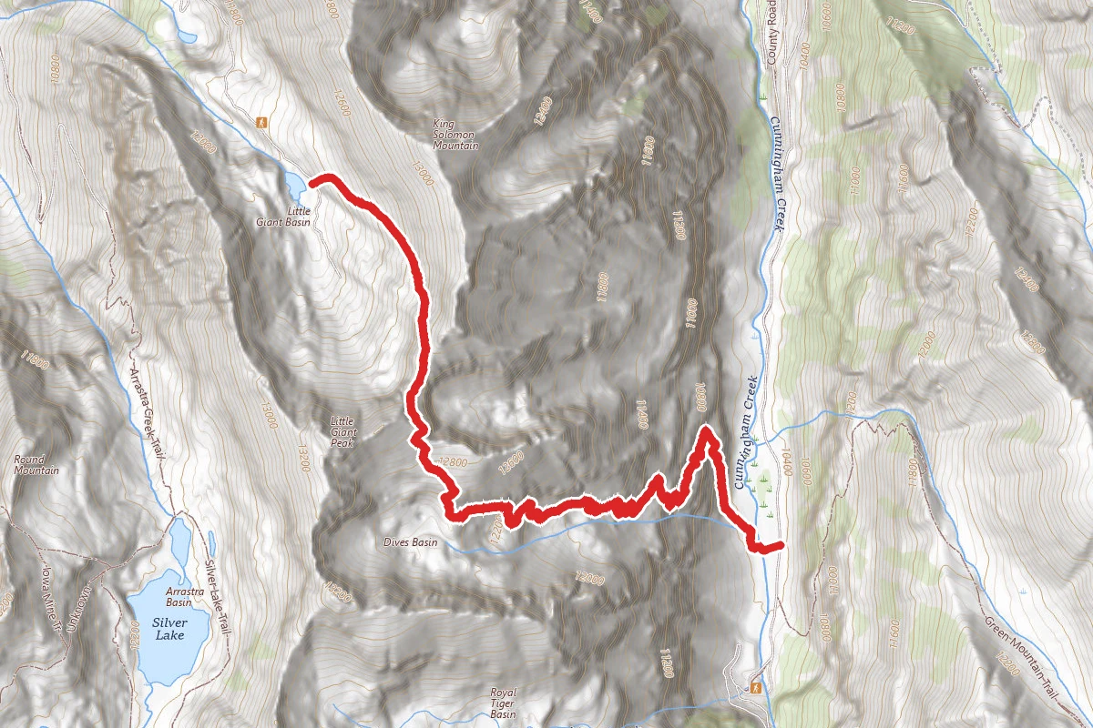
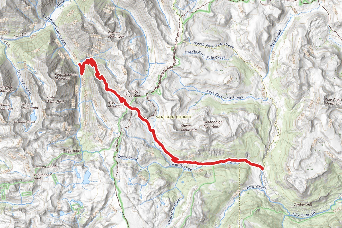
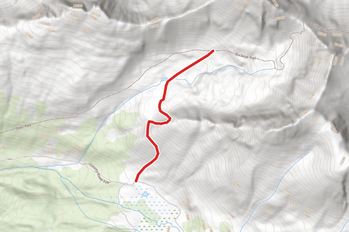
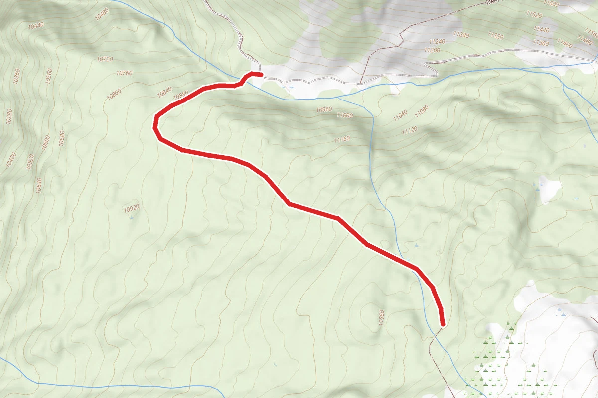
Highland Mary Trail Loop route map
DifficultLoop

Highland Mary Trail Loop

Silverton, Colorado

7.9 mi

Distance

2,434 ft

Elev. Gain

3h 42m

Est. Time

Loop

Route Type

Difficult

Difficulty

About This Trail

Imported description
This Trail leads you to a set of "locally famous" Lakes which occupy an Alpine Basin "at the top of the Rockies". The Trailhead is at the Far Southern End of the Cunningham Gulch Road (same road as the 100 Years Mine Tour and the Stony Pass 4x4 Trail across the Continental Divide - both are 2-3 miles North of the Trailhead). Because of the aforementioned attractions, the bulk of the Road is in quite Good Condition (until the last 1/2mile and the last Creek Crossing - High Clearance but not necessarily 4x4). There is a BLM Pit Toilet about halfway along the Road - use it if needed as there is nothing at the Trailhead. The Trailhead has room for a dozen vehicles, but is often rather busy (there are 2-3 other parking areas only a little way down the road). The Trail quickly starts to climb into the Weminuche Wilderness. Shortly one reaches one of the spots where you need to "rock climb" in numerous 2-3ft "stairs" with good handholds (this trail is off-limits to stock - and probably to any short-legged Dog that you don't plan to carry up several of these places). The Trail has climbs relieved by short near-level stretches as it parallels the infrequently-seen creek, until at the 1/3 mark with an open meadow backed by a waterfall (and another climb). At about the 2/3rd point, the Trail makes an "unannounced" right-hand creek crossing (across a number of rocks/logs). Then you climb into an intermediate Basin filled with shrubs and wildflowers. The final climb crosses a talus/boulder field, and then quickly arrives at the "Smallest Lake" of Highland Mary. To the left around this "Smallest Lake" is a great vantage back down the sweep of Cunningham Gulch. To the right, the Trail creeps past the lakeshore and over a small hump to the "Middle Highland Mary" Lake (several times larger/longer than "Smallest Lake"). The Trail continues along this lakeshore about 1/2mi before crossing another hump and finding the inflow end of the "Large Highland Mary" Lake. Behind the "Largest Lake" is a rather mundane 800ft ridgeline and rounded Peak. The Trail otherwise bypasses this "Largest Lake" and proceeds beyond over a saddle to Verde Lake and a Trail that can be made into a multi-day Loop Trail using the CDT to return to the Cunningham Gulch Trailhead.

Trail Conditions

Trail Conditions

Unknown

We have no current condition data for this trail. Check with the operator before you go, and submit a report below if you've been recently.

No recent condition reports. Be the first to share what you see on the trail.

Elevation Profile

Min:3,289 ft
Max:3,839 ft
742 ft
742 ft
3,289 ft3,472 ft3,656 ft3,839 ft0.0 mi2.0 mi4.0 mi5.9 mi7.9 mi

Trail Details

Route Type
Loop
Surface
Dirt

Official sources & verification

We don't have curated agency sources for this trail in our cache yet. Outdoors is not the permitting authority — confirm conditions, permits, and access with the managing agency before you go. If you know who manages this trail, please tell us.

Reviews

No reviews yet

Be the first to share your experience and help others plan their visit.

Legacy import — verify before navigating

Path geometry came from our pre-launch legacy database. Routes have not yet been re-verified against the operator and may differ from the actual trail.

Hunt context

This trail crosses hunting units

During hunting seasons, wear blaze orange and check regulations — see the Colorado hunting page
Spot an error in our data on Highland Mary Trail Loop?